


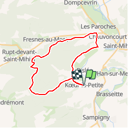

26 km | 32 km-effort


User


FREE GPS app for hiking
 SityTrail
IGN / Geographical institutes
SityTrail World
The world is yours!
Trail Mountain bike of 26 km to be discovered at Grand Est, Meuse, Kœur-la-Petite. This trail is proposed by tracegps.
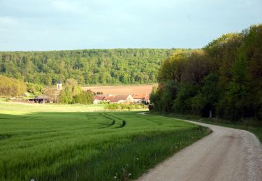
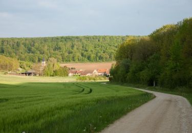
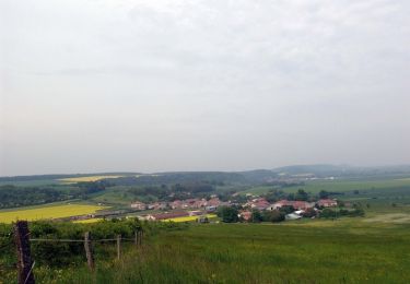
Balade dans la foret sur des routes forestières. Montée un peu difficile au début, grande descente en foret, petite côte assez hard près de Menouville (très belle vue en arrivant en haut de la colline) et retour tranquille. C'est un joli coin pour se balader avec des beaux petits villages dans les environs. N'hésitez pas a passer à St Mihiel où a vécu le célèbre sculpteur Ligier Richier. On peut également admirer son chef d'œuvre "La Pâmoison de la Vierge " connu dans le monde entier situé dans l'église Saint-Michel.

Walking

sport
Cycle
Mountain bike

Walking

Cycle

Cycle
Cycle
Mountain bike