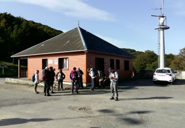
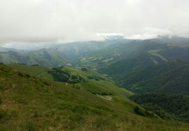
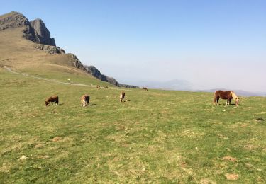
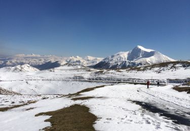
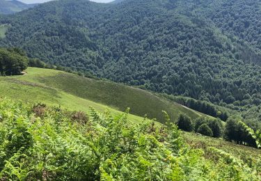
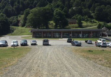
Trail Walking Larrau - Pic d'Orhy - Photo
 tracegps
tracegps

User

© OpenStreetMap contributors
Length
Length
13 km
Max alt
Max alt
2008 m
Uphill gradient
Uphill gradient
856 m
Km-Effort
Km-Effort  
24 km
Min alt
Min alt
1364 m
Downhill gradient
Downhill gradient
856 m
Boucle
Boucle
Yes
Creation date :
2014-12-10 00:00:00.0
Updated on :
2014-12-10 00:00:00.0

(0 Reviews)

Walking
Walking
6h30
Difficulty : Difficult

Scan this QR Code to open this trail in the SityTrail application

FREE GPS app for hiking

Logo SityTrail SityTrail

IGN / Geographical institutes

Download SityTrail from the App Store Download SityTrail from Google Play

Logo SityTrail SityTrail World

The world is yours!

Download SityTrail from the App Store Download SityTrail from Google Play Download SityTrail on Huawei AppGallery

About

Trail Walking of 13 km to be discovered at New Aquitaine, Pyrénées-Atlantiques, Larrau. This trail is proposed by tracegps.

Description

Le pic d'Orhy est situé à la frontière franco-espagnole, entre la Soule pour les Pyrénées-Atlantiques et la communauté Forale de Navarre. C'est le point culminant de la Soule à 2 017 m d'altitude. Il est le premier " 2000 " des Pyrénées, en venant de l’océan Atlantique, et ses dimensions imposantes en font le géant des Pyrénées basques. De son sommet on aperçoit le golfe de Gascogne, le pic d'Anie et côté Béarn à l'est, les plus hauts sommets des Pyrénées. (source Wikipedia)

Elevation profile

Photos

Positioning

Country:
France
Region :
New Aquitaine
Department/Province :
Pyrénées-Atlantiques
Municipality :
Larrau
Location:
Unknown
Start:(UTM)
659782 ; 4765550 (30T) N.

Trails nearby

Trail Walking Larrau - IRATY le pic des escaliers G3 2948308 du 24/09/2021 - Photo
Walking
GUIDE
marmotte65

Walking

Medium
Larrau, New Aquitaine, Pyrénées-Atlantiques, France
8.7 km | 14.8 km-effort
2h 37min
Yes
Trail Walking Larrau - Iraty cabane ZINGOLATZE - Photo
Walking
jaja64

Walking

Very easy
Larrau, New Aquitaine, Pyrénées-Atlantiques, France
6.8 km | 9.7 km-effort
3h 29min
Yes
Trail Walking Larrau - GR 10 T - Photo
Walking
GUIDE
marmotte65

Walking

Medium
Larrau, New Aquitaine, Pyrénées-Atlantiques, France
5.3 km | 7 km-effort
1h 40min
No
Trail Walking Larrau - le Pic des Escalier - Photo
Walking
BerFran

Walking

Medium
Larrau, New Aquitaine, Pyrénées-Atlantiques, France
10.4 km | 16.7 km-effort
3h 8min
Yes
Trail Walking Lecumberry - Okabe magique  - Photo
Walking
GUIDE
antignacs

Walking

Difficult
Lecumberry, New Aquitaine, Pyrénées-Atlantiques, France
15.2 km | 25 km-effort
5h 31min
Yes
Trail Walking Larrau - Iraty « escaliers » - Photo
Walking
GUIDE
antignacs

Walking

Easy
Larrau, New Aquitaine, Pyrénées-Atlantiques, France
19.1 km | 28 km-effort
6h 32min
No
Trail Walking Lecumberry - IRATI : GOROSTIBIZKARRA 1340m - Photo
Walking
jaja64

Walking

Easy
Lecumberry, New Aquitaine, Pyrénées-Atlantiques, France
9.1 km | 13.9 km-effort
2h 41min
Yes
Trail Walking Larrau - IRATY Chapelle Notre Dame des Neiges et Casas de Irati - Photo
Walking
jaja64

Walking

Easy
Larrau, New Aquitaine, Pyrénées-Atlantiques, France
22 km | 33 km-effort
6h 22min
Yes
Trail Walking Lecumberry - IRATY  PETRILARRE-HEGIXURIA en boucle - Photo
Walking
jaja64

Walking

Medium
Lecumberry, New Aquitaine, Pyrénées-Atlantiques, France
13.6 km | 22 km-effort
4h 29min
Yes


Close
My subscriptions