


8.4 km | 12.3 km-effort


User


FREE GPS app for hiking
 SityTrail
IGN / Geographical institutes
SityTrail World
The world is yours!
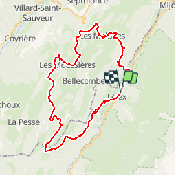
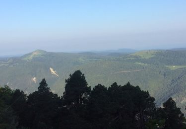
Trail Mountain bike of 36 km to be discovered at Auvergne-Rhône-Alpes, Ain, Lélex. This trail is proposed by tracegps.
Espace VTT FFC Entre Jura et Léman Circuit officiel labellisé par la Fédération Française de Cyclisme. L'espace VTT FFC Pays de Gex Bellegarde regroupe 13 circuits VTT au départ de 5 sites, répartis sur tout le territoire. Parcours assez sportif à la découverte des Hautes Combes et du site de la Borne au Lion, et donnant un aperçu du parcours de la GTJ VTT. Pour tout renseignement sur la pratique du VTT sur le Pays de Gex-Bellegarde, contacter Bruno LADET à bladet chez ccpg point fr

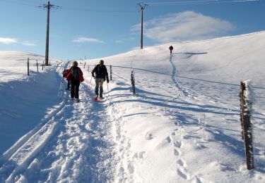
Snowshoes
Snowshoes
Walking
Walking

Walking
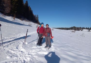
Snowshoes
Walking
Walking
Walking
A faire vraiment dans le sens horaire