

Espace VTT FFC Pays des Ecrins - Circuit n°07 - Col d'Anon - Col des Lauzes

tracegps
User

Length
17.4 km

Max alt
1905 m

Uphill gradient
735 m

Km-Effort
27 km

Min alt
1334 m

Downhill gradient
734 m
Boucle
Yes
Creation date :
2014-12-10 00:00:00.0
Updated on :
2014-12-10 00:00:00.0
1h30
Difficulty : Difficult

FREE GPS app for hiking
About
Trail Mountain bike of 17.4 km to be discovered at Provence-Alpes-Côte d'Azur, Hautes-Alpes, L'Argentière-la-Bessée. This trail is proposed by tracegps.
Description
Espace VTT FFC Pays des Ecrins Circuit labellisé par la Fédération Française de Cyclisme. Espace VTT FFC Pays des Ecrins – Circuit n°07 - Col d'Anon - Col des Lauzes Téléchargez le Topo Guide des circuits VTT FFC du Pays des Ecrins.
Positioning
Country:
France
Region :
Provence-Alpes-Côte d'Azur
Department/Province :
Hautes-Alpes
Municipality :
L'Argentière-la-Bessée
Location:
Unknown
Start:(Dec)
Start:(UTM)
303775 ; 4962654 (32T) N.
Comments
Trails nearby
La tête d'Oreac


Walking
Easy
(2)
Puy-Saint-Vincent,
Provence-Alpes-Côte d'Azur,
Hautes-Alpes,
France

6 km | 10.4 km-effort
3h 55min
Yes
Cascades de Narreyroux - Puy Saint Vincent


Walking
Difficult
(1)
Puy-Saint-Vincent,
Provence-Alpes-Côte d'Azur,
Hautes-Alpes,
France

11.4 km | 19.2 km-effort
4h 0min
Yes

Boucle de Vallouise


On foot
Easy
Vallouise-Pelvoux,
Provence-Alpes-Côte d'Azur,
Hautes-Alpes,
France

8.1 km | 11.6 km-effort
2h 38min
Yes
Tour des Vigneaux


On foot
Easy
Les Vigneaux,
Provence-Alpes-Côte d'Azur,
Hautes-Alpes,
France

5.7 km | 7.5 km-effort
1h 42min
Yes
la tête d'Oréac


Snowshoes
Medium
Puy-Saint-Vincent,
Provence-Alpes-Côte d'Azur,
Hautes-Alpes,
France

6.4 km | 11.4 km-effort
4h 7min
Yes
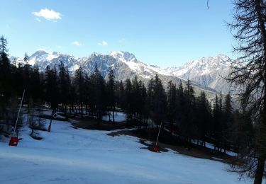
le lac des Hermes


Walking
Easy
Puy-Saint-Vincent,
Provence-Alpes-Côte d'Azur,
Hautes-Alpes,
France

4.3 km | 6.5 km-effort
3h 9min
Yes
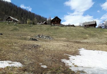
Narreyroux au départ de PSV 1600


Walking
Very easy
Puy-Saint-Vincent,
Provence-Alpes-Côte d'Azur,
Hautes-Alpes,
France

4.6 km | 6.3 km-effort
1h 49min
Yes
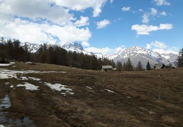
Boucle col de la Pousterle et tête d'Oréac


Walking
Medium
Puy-Saint-Vincent,
Provence-Alpes-Côte d'Azur,
Hautes-Alpes,
France

9.5 km | 15.5 km-effort
3h 9min
Yes
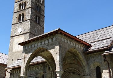
Entre Parapin et Gyronde


On foot
Easy
Les Vigneaux,
Provence-Alpes-Côte d'Azur,
Hautes-Alpes,
France

5.8 km | 8.3 km-effort
1h 53min
Yes


 SityTrail


