7 km | 11 km-effort
Bois de la Pale - Vallée du Louron
tracegps
User
Length
10 km
Max alt
1311 m
Uphill gradient
596 m
Km-Effort
18 km
Min alt
784 m
Downhill gradient
601 m
Boucle
Yes
Creation date :
2014-12-10 00:00:00.0
Updated on :
2014-12-10 00:00:00.0
2h30
Difficulty : Medium
FREE GPS app for hiking
About
Trail Walking of 10 km to be discovered at Occitania, Hautespyrenees, Bordères-Louron. This trail is proposed by tracegps.
Description
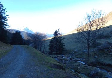
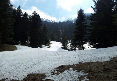
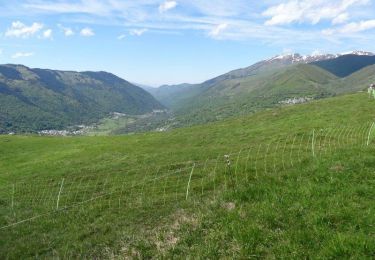
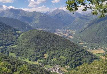
Balade au dessus de la vallée du Louron, dans le Pays des Quatre Vallées.
Positioning
Country:
France
Region :
Occitania
Department/Province :
Hautespyrenees
Municipality :
Bordères-Louron
Location:
Unknown
Start:(Dec)
Start:(UTM)
287207 ; 4749906 (31T) N.
Comments
Trails nearby
Boucle de Mont
Walking
Medium
Cazaux-Fréchet-Anéran-Camors,
Occitania,
Hautespyrenees,
France
13.1 km | 22 km-effort
3h 4min
Yes
Cazeaux Frechet - Mont-Cazeaux Frechet
Walking
Easy
Cazaux-Fréchet-Anéran-Camors,
Occitania,
Hautespyrenees,
France
8.4 km | 12.4 km-effort
2h 34min
Yes
Camping Rioumajou - Agos - route de Soulan - Agos - Rioumajou à Bourisp
Walking
Difficult
Bourisp,
Occitania,
Hautespyrenees,
France
6.4 km | 11.4 km-effort
2h 1min
Yes
Hourquette d'Arreau par Barrancoueu
Walking
Medium
Barrancoueu,
Occitania,
Hautespyrenees,
France
12.3 km | 23 km-effort
5h 56min
Yes
Lac de Bareilles
Walking
Medium
Bareilles,
Occitania,
Hautespyrenees,
France
13.4 km | 24 km-effort
7h 15min
Yes
Rando patrimoine en Vallée du Louron
Walking
Medium
Cazaux-Fréchet-Anéran-Camors,
Occitania,
Hautespyrenees,
France
8.3 km | 12 km-effort
5h 0min
No
Sentier des estimes
Walking
Very difficult
Cazaux-Fréchet-Anéran-Camors,
Occitania,
Hautespyrenees,
France
14.7 km | 25 km-effort
4h 18min
Yes
Borderes-Louron <> Cazeaux
Walking
Medium
Bordères-Louron,
Occitania,
Hautespyrenees,
France
12.3 km | 21 km-effort
4h 9min
Yes
A 1.5km du départ, et à 1150m d'altitude, près d'un virage de piste forestière, le sentier disparait totalement. Il faut alors suivre cette piste forestière jusqu'à ce qu'elle se termine, à1250m d'altitude, à 1km de Ris. Une petite descente hors sentier, plein ouest, dans le ceux d'une combe, permettra de rejoindre la trace, à 1200m. On a un problème analogue au km 7,5. Cette trace a beaucoup vieilli, et certains sentiers s'effacent.