


5.7 km | 6.2 km-effort

User


FREE GPS app for hiking
 SityTrail
IGN / Geographical institutes
SityTrail World
The world is yours!
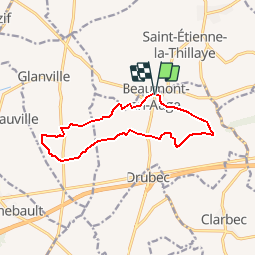
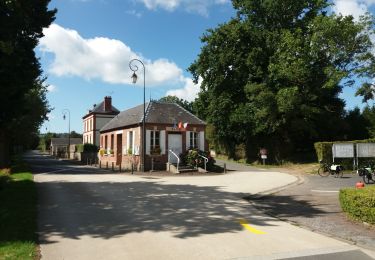
Trail Walking of 11.2 km to be discovered at Normandy, Calvados, Beaumont-en-Auge. This trail is proposed by tracegps.
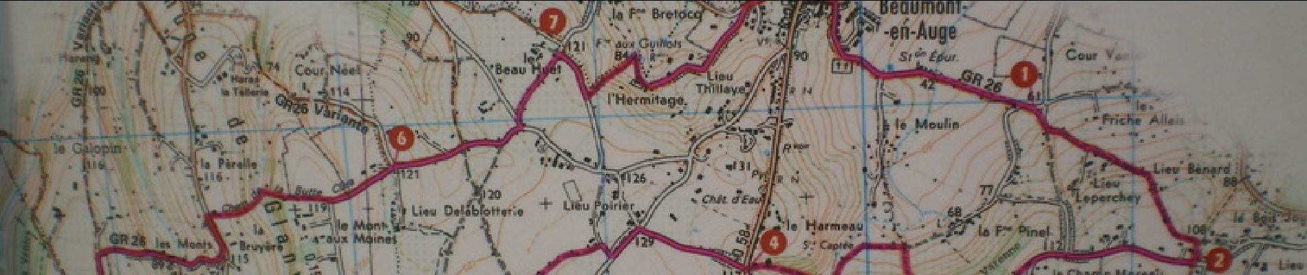
C'est en fait la retranscription d'une des 2 randonnées disponibles sur la panneau dédié à cet usage situé sur la place du village (à côté de la statue de Mr LaPlace). Je publie la photo que j'ai prise du panneau pour effectuer la retranscription. J'en profite pour proposer mes services aux lecteurs : Si vous avez des parcours à partager sur la basse Normandie et le calvados en particulier, mais que vous ne voulez pas, par manque de temps, trop difficile, etc.....


Walking
Walking
Walking
Walking
Electric bike
Walking
Walking
Walking
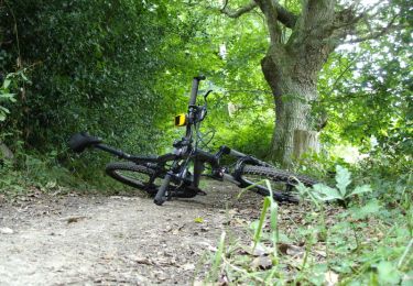
Mountain bike
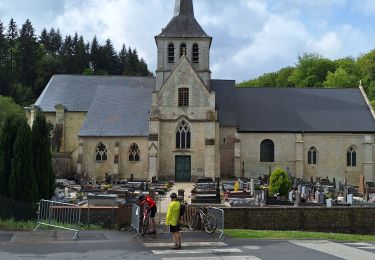
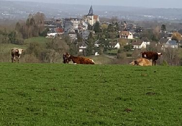
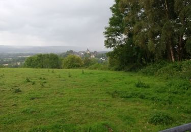
Belle Rando avec de beaux chemins et de belles propriétés