Trail Mountain bike Légny - Espace VTT FFC Pays Beaujolais - Pierres Dorées - Circuit n° 09 - Légny - Photo

Espace VTT FFC Pays Beaujolais - Pierres Dorées - Circuit n° 09 - Légny

 tracegps
tracegps

User

© OpenStreetMap contributors
Length
Length
5.4 km
Max alt
Max alt
315 m
Uphill gradient
Uphill gradient
81 m
Km-Effort
Km-Effort  
6.4 km
Min alt
Min alt
244 m
Downhill gradient
Downhill gradient
82 m
Boucle
Boucle
Yes
Creation date :
2014-12-10 00:00:00.0
Updated on :
2014-12-10 00:00:00.0

(1 Reviews)

Mountain bike
Mountain bike
19m
Difficulty : Easy

Scan this QR Code to open this trail in the SityTrail application

FREE GPS app for hiking

Logo SityTrail SityTrail

IGN / Geographical institutes

Download SityTrail from the App Store Download SityTrail from Google Play

Logo SityTrail SityTrail World

The world is yours!

Download SityTrail from the App Store Download SityTrail from Google Play Download SityTrail on Huawei AppGallery

About

Trail Mountain bike of 5.4 km to be discovered at Auvergne-Rhône-Alpes, Rhône, Légny. This trail is proposed by tracegps.

Description

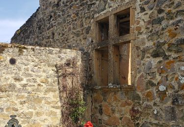
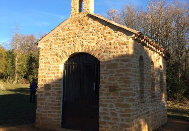
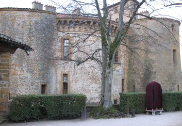
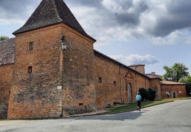
Espace VTT FFC Pays Beaujolais les Pierres Dorées, Pays du Bois d’Oingt. Circuit officiel labellisé par la Fédération Française de Cyclisme. Légny, perché à 227 m d’altitude sur un socle de grès, est une commune de 397 hectares, dont 60 plantés en vigne. La commune de 469 habitants s’étend de part et d’autre de la vallée d’Azergues, rivière rejointe par le Soanan aux Ponts Tarrets. Ces derniers sont le carrefour de deux grandes voies de circulation routière :Villefranche-Tarare et Lyon-Charolles (D.485). Ils accueillent aussi la gare SNCF qui a vu passer autrefois “le Tacot”, petit train reliant Villefranche à Tarare et qui cessa de fonctionner en 1934. A la faveur de la révolution française, Légny se sépara du Bois d’Oingt pour devenir une commune à part entière. Elle appartient aujourd’hui à la Communauté de Communes des Pays du Bois d’Oingt. Si on a l’occasion de s’arrêter au Bourg, à l’habitat resserré, on pourra y admirer une croix à deux faces datée de 1516 et l’Eglise qui reçut le prix de la Rénovation du Patrimoine en 1995.

Elevation profile

Photos

Positioning

Country:
France
Region :
Auvergne-Rhône-Alpes
Department/Province :
Rhône
Municipality :
Légny
Location:
Unknown
Start:(Dec)
Start:(UTM)
622044 ; 5084797 (31T) N.

Comments

Please log in to post a review or rate the element


gruges bully


Trails nearby

Trail Walking Ternand - 2022-04-07_21h47m08_Ternand_V2 - Photo
Walking
daniellebou

Walking

Very difficult
(1)
Ternand, Auvergne-Rhône-Alpes, Rhône, France
17.8 km | 27 km-effort
6h 7min
Yes
Trail Walking Val d'Oingt - Oingt (69) Beaujolais  - Photo
Walking
Thomasdanielle

Walking

Very easy
(1)
Val d'Oingt, Auvergne-Rhône-Alpes, Rhône, France
9.3 km | 13.3 km-effort
2h 30min
Yes
Trail Walking Saint-Vérand - Saint Vérand - Photo
Walking
fernand1254

Walking

Medium
(1)
Saint-Vérand, Auvergne-Rhône-Alpes, Rhône, France
13.5 km | 21 km-effort
3h 37min
Yes
Trail On foot Légny - De Saint Vérand à Bagnols - Photo
On foot
GUIDE+

On foot

Easy
Légny, Auvergne-Rhône-Alpes, Rhône, France
7.4 km | 10.3 km-effort
2h 20min
No
Trail Nordic walking Bagnols - bagnol - Photo
Nordic walking
isabelle.xavier

Nordic walking

Very easy
(1)
Bagnols, Auvergne-Rhône-Alpes, Rhône, France
6.8 km | 8.4 km-effort
1h 40min
Yes
Trail Electric bike Val d'Oingt - tour dans le beaujolais Oingt - Salles sur Arbuissonnas - Photo
Electric bike
cailloux54

Electric bike

Medium
(1)
Val d'Oingt, Auvergne-Rhône-Alpes, Rhône, France
52 km | 68 km-effort
5h 44min
Yes
Trail Walking Val d'Oingt - 69620-StLo-160412-Azergues+Genetière+Berthier - Photo
Walking
adye

Walking

Easy
(2)
Val d'Oingt, Auvergne-Rhône-Alpes, Rhône, France
5.2 km | 7.1 km-effort
1h 38min
Yes
Trail Walking Chessy - Chessy 11 km - Photo
Walking
daniellebou

Walking

Difficult
(1)
Chessy, Auvergne-Rhône-Alpes, Rhône, France
11.5 km | 14.9 km-effort
3h 23min
Yes
Trail Walking Chessy - Chessy à Bagnols - Photo
Walking
Jean-Marc C

Walking

Difficult
(1)
Chessy, Auvergne-Rhône-Alpes, Rhône, France
12.5 km | 15.8 km-effort
3h 35min
Yes


Close
My subscriptions