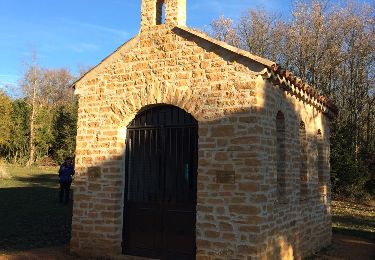
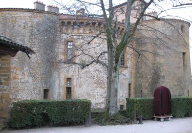
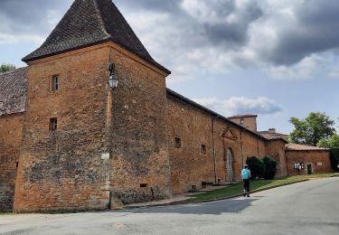
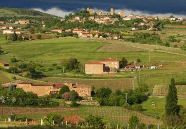
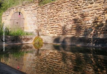
Trail Mountain bike Frontenas - Espace VTT FFC Pays Beaujolais - Pierres Dorées - Circuit n° 07 - Frontenas - Photo

Espace VTT FFC Pays Beaujolais - Pierres Dorées - Circuit n° 07 - Frontenas

 tracegps
tracegps

User

© OpenStreetMap contributors
Length
Length
12.9 km
Max alt
Max alt
422 m
Uphill gradient
Uphill gradient
234 m
Km-Effort
Km-Effort  
16.1 km
Min alt
Min alt
287 m
Downhill gradient
Downhill gradient
234 m
Boucle
Boucle
Yes
Creation date :
2014-12-10 00:00:00.0
Updated on :
2014-12-10 00:00:00.0

(0 Reviews)

Mountain bike
Mountain bike
1h00
Difficulty : Easy

Scan this QR Code to open this trail in the SityTrail application

FREE GPS app for hiking

Logo SityTrail SityTrail

IGN / Geographical institutes

Download SityTrail from the App Store Download SityTrail from Google Play

Logo SityTrail SityTrail World

The world is yours!

Download SityTrail from the App Store Download SityTrail from Google Play Download SityTrail on Huawei AppGallery

About

Trail Mountain bike of 12.9 km to be discovered at Auvergne-Rhône-Alpes, Rhône, Frontenas. This trail is proposed by tracegps.

Description

Espace VTT FFC Pays Beaujolais les Pierres Dorées, Pays du Bois d’Oingt. Circuit officiel labellisé par la Fédération Française de Cyclisme. Petits chemins caillouteux à travers prés, vignes et sous-bois. Quelques passages goudronnés. Aucune difficulté. Circuit partant du centre du village, partie goudronnée d’abord puis chemin jusqu’à Grandchamp. Tour de l’aérodrome, remontée par sous-bois en direction de Bagnols, puis montée en direction de St Abram et retour sur village. FRONTENAS est une charmante petite commune d’environ 880 habitants, située sur la route fleurie du Beaujolais. On peut découvrir une église du XIIe siècle (Temple de la raison pendant la révolution) avec un remarquable portail à pentures de fer forgé et un tabernacle du XVe siècle. Il existe aussi un superbe lavoir, datant de 1813, dont on dit que ses eaux furent miraculeuses. Le coq du clocher présente une particularité, il porte un tastevin. Aujourd’hui, Frontenas fait parler d’elle par les différents circuits pédestres, l’aérodrome et le Centre de Vol à Voile. N’oublions pas, chaque année, la Virade de l’Espoir pour la lutte contre la mucoviscidose.

Elevation profile

Photos

Positioning

Country:
France
Region :
Auvergne-Rhône-Alpes
Department/Province :
Rhône
Municipality :
Frontenas
Location:
Unknown
Start:(UTM)
625542 ; 5086959 (31T) N.

Trails nearby

Trail Walking Val d'Oingt - Oingt (69) Beaujolais  - Photo
Walking
Thomasdanielle

Walking

Very easy
(1)
Val d'Oingt, Auvergne-Rhône-Alpes, Rhône, France
9.3 km | 13.3 km-effort
2h 30min
Yes
Trail On foot Légny - De Saint Vérand à Bagnols - Photo
On foot
GUIDE+

On foot

Easy
Légny, Auvergne-Rhône-Alpes, Rhône, France
7.4 km | 10.3 km-effort
2h 20min
No
Trail Nordic walking Bagnols - bagnol - Photo
Nordic walking
isabelle.xavier

Nordic walking

Very easy
(1)
Bagnols, Auvergne-Rhône-Alpes, Rhône, France
6.8 km | 8.4 km-effort
1h 40min
Yes
Trail Electric bike Val d'Oingt - tour dans le beaujolais Oingt - Salles sur Arbuissonnas - Photo
Electric bike
cailloux54

Electric bike

Medium
(1)
Val d'Oingt, Auvergne-Rhône-Alpes, Rhône, France
52 km | 68 km-effort
5h 44min
Yes
Trail Walking Sainte-Paule - Sainte-Paule (13,4 km D. 485 m) - Photo
Walking
Thomasdanielle

Walking

Medium
(1)
Sainte-Paule, Auvergne-Rhône-Alpes, Rhône, France
13.4 km | 19.4 km-effort
4h 9min
Yes
Trail Walking Chessy - Chessy 11 km - Photo
Walking
daniellebou

Walking

Difficult
(1)
Chessy, Auvergne-Rhône-Alpes, Rhône, France
11.5 km | 14.9 km-effort
3h 23min
Yes
Trail Walking Chessy - Chessy à Bagnols - Photo
Walking
Jean-Marc C

Walking

Difficult
(1)
Chessy, Auvergne-Rhône-Alpes, Rhône, France
12.5 km | 15.8 km-effort
3h 35min
Yes
Trail Walking Val d'Oingt - Saint-Laurent d'Oingt - Oingt, Plus beau Village de France - Photo
Walking
adye

Walking

Difficult
Val d'Oingt, Auvergne-Rhône-Alpes, Rhône, France
8.8 km | 12.5 km-effort
2h 20min
Yes
Trail Walking Val d'Oingt - 69620-Saint-Laurent d'Oingt-Bois d'Oingt : lavoirs, château et coteaux - Photo
Walking
adye

Walking

Medium
Val d'Oingt, Auvergne-Rhône-Alpes, Rhône, France
8 km | 11 km-effort
1h 57min
Yes


Close
My subscriptions