

Ajaccio --> Bonifacio - Etape 4

tracegps
User


4h00
Difficulty : Difficult

FREE GPS app for hiking
About
Trail Cycle of 30 km to be discovered at Corsica, South Corsica, Propriano. This trail is proposed by tracegps.
Description
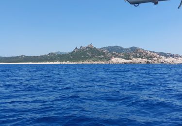
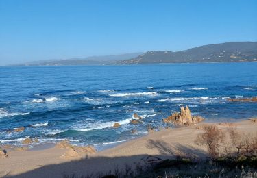
** Etape 4 - Propriano --> Sartène ** Longueur cartographique = 30,199 Km Circuit de 158Km utilisant dans la mesure du possible des voies secondaires carrossables dans des paysages côtiers et montagneux superbes. Les 5 étapes sont à titre indicatifs et sont modulables en fonction du physique et des hébergements. Les autres étapes : ** Etape 1 - Ajaccio --> Portigliolo ** Longueur cartographique = 33,288 Km ** Etape 2 - Portigliolo --> Serra-di-Ferro ** Longueur cartographique = 23,259 Km ** Etape 3 - Serra-di-Ferro --> Propriano ** Longueur cartographique = 20,094 Km ** Etape 5 - Sartène --> Bonifacio ** Longueur cartographique = 51,526 Km
Positioning
Comments
Trails nearby
Walking


Walking


Walking


Walking

Electric bike

Walking

Walking

Sailboat

Walking


 SityTrail


