


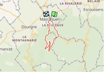

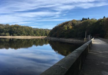
7.6 km | 12.1 km-effort

User


FREE GPS app for hiking
 SityTrail
IGN / Geographical institutes
SityTrail World
The world is yours!
Trail Mountain bike of 9.4 km to be discovered at Occitania, Tarn, Massaguel. This trail is proposed by tracegps.
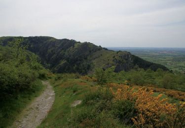
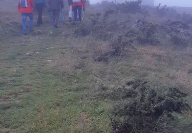
Montée à la Capelette par la vallée du Sant. Descente par le sentier à travers les genêts.

Walking

Electric bike
Mountain bike

Walking
Mountain bike
Mountain bike
Walking