


25 km | 39 km-effort


User


FREE GPS app for hiking
 SityTrail
IGN / Geographical institutes
SityTrail World
The world is yours!
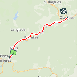
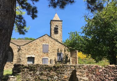
Trail Mountain bike of 15.1 km to be discovered at Occitania, Hérault, Saint-Pons-de-Thomières. This trail is proposed by tracegps.
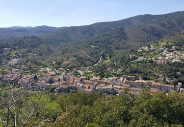
Au cœur du Parc naturel régional, la "piste verte de Mazamet à Bédarieux" est la voie verte du Haut-Languedoc. Cette voie verte est en cours d'aménagement sur l’ancienne voie ferrée.
Walking
Walking
On foot
Walking

Walking

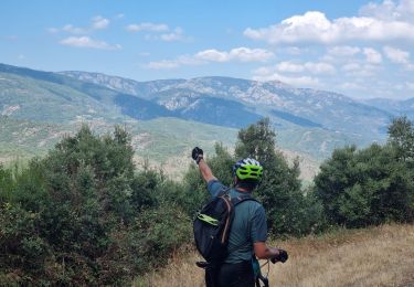
Mountain bike
Walking