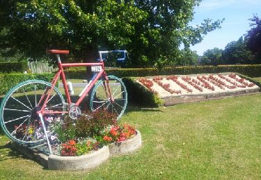
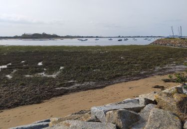
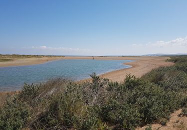
Trail Mountain bike Bavent - Marais de la Dives - Photo

Marais de la Dives

 tracegps
tracegps

User

© OpenStreetMap contributors
Length
Length
38 km
Max alt
Max alt
74 m
Uphill gradient
Uphill gradient
326 m
Km-Effort
Km-Effort  
43 km
Min alt
Min alt
-1 m
Downhill gradient
Downhill gradient
328 m
Boucle
Boucle
Yes
Creation date :
2014-12-10 00:00:00.0
Updated on :
2014-12-10 00:00:00.0

(0 Reviews)

Mountain bike
Mountain bike
2h15
Difficulty : Medium

Scan this QR Code to open this trail in the SityTrail application

FREE GPS app for hiking

Logo SityTrail SityTrail

IGN / Geographical institutes

Download SityTrail from the App Store Download SityTrail from Google Play

Logo SityTrail SityTrail World

The world is yours!

Download SityTrail from the App Store Download SityTrail from Google Play Download SityTrail on Huawei AppGallery

About

Trail Mountain bike of 38 km to be discovered at Normandy, Calvados, Bavent. This trail is proposed by tracegps.

Description

Encore un petit circuit dans les marais de la Dives. Sans aucune difficulté particulière. J'en profite pour proposer mes services aux visiteurs : Si vous avez des parcours à partager sur la basse Normandie mais que vous ne voulez pas, par manque de temps, trop difficile, etc... les publier sur traceGPS.com, merci de me les envoyer à manualator@aliceadsl.fr que je les fasse partager à tous. Plus y en aura, plus on rigolera ! Même adresse si vous souhaitez me faire part de vos remarques concernant mes circuits. (Ou formulez un avis dans la rubrique appropriée ! - note de tracegps.com)

Elevation profile

Positioning

Country:
France
Region :
Normandy
Department/Province :
Calvados
Municipality :
Bavent
Location:
Unknown
Start:(UTM)
704848 ; 5456803 (30U) N.

Trails nearby

Trail Equestrian Goustranville - poteries petit parcours - Photo
Equestrian
dartois

Equestrian

Very easy
(1)
Goustranville, Normandy, Calvados, France
9 km | 9.6 km-effort
Unknown
Yes
Trail Walking Merville-Franceville-Plage - HONFLEUR 06 - OUISTREHAM : Les Dunes - La Redoute (Normandie) - Photo
Walking
GUIDE
Michel1963

Walking

Medium
Merville-Franceville-Plage, Normandy, Calvados, France
6.5 km | 6.8 km-effort
1h 55min
Yes
Trail Road bike Merville-Franceville-Plage - Merville Caen  - Photo
Road bike
FOUCAULT

Road bike

Merville-Franceville-Plage, Normandy, Calvados, France
31 km | 34 km-effort
2h 11min
Yes
Trail Walking Merville-Franceville-Plage - Boucle entre plage et marais - Photo
Walking
rigol05

Walking

Easy
Merville-Franceville-Plage, Normandy, Calvados, France
8.6 km | 9.1 km-effort
2h 8min
Yes
Trail Walking Sallenelles - Sellenelles à Franceville Merville - Photo
Walking
Marie-Claire-mcp

Walking

Easy
Sallenelles, Normandy, Calvados, France
10.7 km | 11.7 km-effort
2h 36min
No
Trail Cycle Sallenelles - Entre mer et marais - Photo
Cycle
phi14

Cycle

Easy
Sallenelles, Normandy, Calvados, France
40 km | 43 km-effort
3h 0min
Yes
Trail Walking Petiville - 2013-07-17 Rando Les cigognes des marais - Photo
Walking
jchezlemas

Walking

Difficult
(1)
Petiville, Normandy, Calvados, France
11.7 km | 13 km-effort
2h 56min
Yes
Trail Walking Sallenelles - autour de Merville - Photo
Walking
arnaudconde

Walking

Easy
Sallenelles, Normandy, Calvados, France
17.6 km | 18.6 km-effort
50min
Yes
Trail Walking Merville-Franceville-Plage - Merville - Photo
Walking
Roulland

Walking

Very easy
Merville-Franceville-Plage, Normandy, Calvados, France
8.4 km | 9.1 km-effort
1h 50min
Yes


Close
My subscriptions