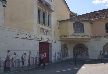
Trail Walking Cotignac - Gros Bessillon - Photo
 tracegps
tracegps

User

© OpenStreetMap contributors
Length
Length
21 km
Max alt
Max alt
807 m
Uphill gradient
Uphill gradient
655 m
Km-Effort
Km-Effort  
31 km
Min alt
Min alt
219 m
Downhill gradient
Downhill gradient
757 m
Boucle
Boucle
No
Creation date :
2014-12-10 00:00:00.0
Updated on :
2014-12-10 00:00:00.0

(1 Reviews)

Walking
Walking
5h00
Difficulty : Difficult

Scan this QR Code to open this trail in the SityTrail application

FREE GPS app for hiking

Logo SityTrail SityTrail

IGN / Geographical institutes

Download SityTrail from the App Store Download SityTrail from Google Play

Logo SityTrail SityTrail World

The world is yours!

Download SityTrail from the App Store Download SityTrail from Google Play Download SityTrail on Huawei AppGallery

About

Trail Walking of 21 km to be discovered at Provence-Alpes-Côte d'Azur, Var, Cotignac. This trail is proposed by tracegps.

Description

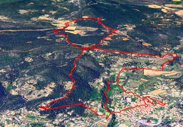
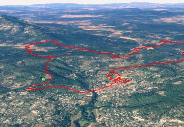
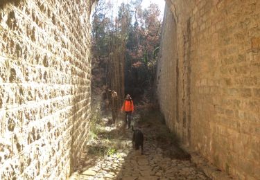
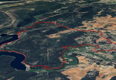
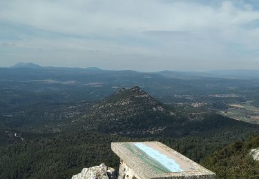
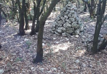
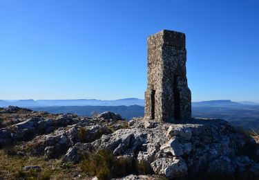
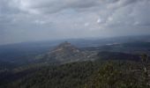
A Cotignac prendre direction Carces pour prendre tout de suite après le pont la route qui monte à ND de Grace afin de garer les voitures. Ensuite piste NW, passer la chapelle ST JOSEPH, prendre la piste S du grand Bessillon jusqu' au carrefour du Jas du Bessillon, ensuite prendre Est une sente qui monte sous une barre rocheuse jusqu' à la tour de surveillance : montée très raide et mettre les mains dans les rochers ( points rouges et cairns) et au sommet: point de vue sur la région et table d' orientation ( mal orientée). On longe Est la clôture et à la stèle des Maquisards descendre S et retrouver la piste de l’aller. Retour au parking

Elevation profile

Photos

Positioning

Country:
France
Region :
Provence-Alpes-Côte d'Azur
Department/Province :
Var
Municipality :
Cotignac
Location:
Unknown
Start:(UTM)
269478 ; 4822539 (32T) N.

Comments

Please log in to post a review or rate the element


Super : fait ce 08/07/13


Trails nearby

Trail Walking Cotignac - SityTrail - Notre Dame de Grace - Chapelle St Bernard - Monastere St Joseph - Chapelle St Martin - Le Poucet - Habitat troglodyte - Le village  - Photo
Walking
GUIDE
affinetataille

Walking

Easy
(2)
Cotignac, Provence-Alpes-Côte d'Azur, Var, France
12.1 km | 16.5 km-effort
6h 0min
Yes
Trail Walking Cotignac - Trace_Cotignac - Photo
Walking
GUIDE
affinetataille

Walking

Medium
(1)
Cotignac, Provence-Alpes-Côte d'Azur, Var, France
14.9 km | 20 km-effort
6h 0min
Yes
Trail Walking Sillans-la-Cascade - Caseneuve - Photo
Walking
bernardvdb

Walking

Very easy
(1)
Sillans-la-Cascade, Provence-Alpes-Côte d'Azur, Var, France
5.7 km | 7.1 km-effort
1h 55min
Yes
Trail Walking Carcès - Chutes du Caramy Lac de Carcès - Photo
Walking
GUIDE
nadinebondoux

Walking

Medium
Carcès, Provence-Alpes-Côte d'Azur, Var, France
14 km | 18.3 km-effort
3h 34min
Yes
Trail Walking Carcès - SityTrail - Cimetière - GR 51 - Les Plaines - Bord du lac - Canal d'irrigation - Photo
Walking
GUIDE
affinetataille

Walking

Medium
Carcès, Provence-Alpes-Côte d'Azur, Var, France
15.6 km | 20 km-effort
6h 0min
Yes
Trail Walking Cotignac - Tour du gros Bessillon - Photo
Walking
Migueldefrance

Walking

Medium
Cotignac, Provence-Alpes-Côte d'Azur, Var, France
14.3 km | 21 km-effort
4h 31min
Yes
Trail Walking Cotignac - Gros Bessillon, Cotignac - Photo
Walking
GrouGary

Walking

Easy
Cotignac, Provence-Alpes-Côte d'Azur, Var, France
11.9 km | 18.1 km-effort
4h 0min
Yes
Trail Walking Cotignac - Cotignac - Gros Bessillon - Monastère St Joseph - ND de Grâce - Photo
Walking
LtZIP

Walking

Medium
Cotignac, Provence-Alpes-Côte d'Azur, Var, France
19.4 km | 27 km-effort
4h 23min
Yes
Trail Walking Carcès - CARCES - CASCADES DU CARAMY - Photo
Walking
jean-marie.parachini

Walking

Easy
Carcès, Provence-Alpes-Côte d'Azur, Var, France
16.8 km | 21 km-effort
10h 41min
Yes


Close
My subscriptions