


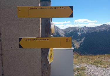
7.4 km | 16.7 km-effort


User


FREE GPS app for hiking
 SityTrail
IGN / Geographical institutes
SityTrail World
The world is yours!
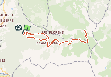
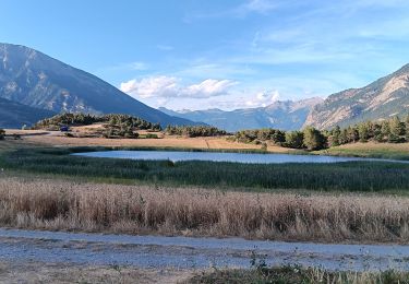
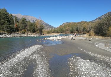
Trail Mountain bike of 21 km to be discovered at Provence-Alpes-Côte d'Azur, Hautes-Alpes, Saint-André-d'Embrun. This trail is proposed by guariso.
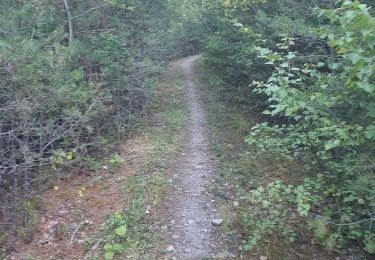
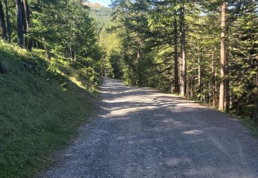
chemin forestier sans difficulté technique. le retour par la 6.1 est une option pour ceux qui aiment les sensations fortes. sinon revenir par le même chemin !


Other activity

Walking

Walking
Walking

Walking
Walking
Walking
Walking
Walking