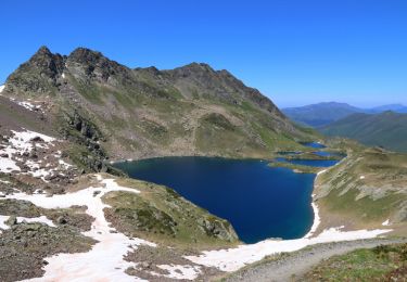
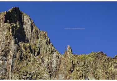
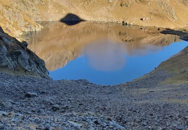
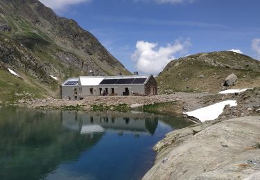
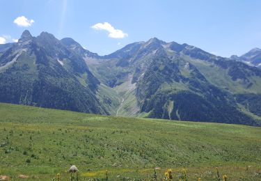
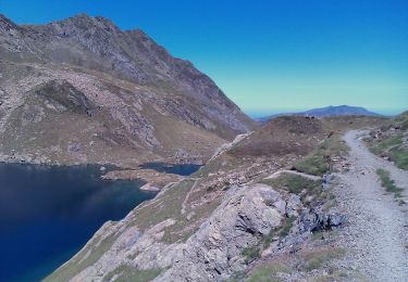
Trail Walking Bagnères-de-Luchon - port de venasque boucle - Photo
© OpenStreetMap contributors
Length
Length
17.1 km
Max alt
Max alt
2486 m
Uphill gradient
Uphill gradient
1314 m
Km-Effort
Km-Effort  
35 km
Min alt
Min alt
1378 m
Downhill gradient
Downhill gradient
1316 m
Boucle
Boucle
Yes
Creation date :
2019-01-15 14:36:30.554
Updated on :
2019-01-15 14:36:30.554

(0 Reviews)

Walking
Walking
6h52
Difficulty : Difficult

Scan this QR Code to open this trail in the SityTrail application

FREE GPS app for hiking

Logo SityTrail SityTrail

IGN / Geographical institutes

Download SityTrail from the App Store Download SityTrail from Google Play

Logo SityTrail SityTrail World

The world is yours!

Download SityTrail from the App Store Download SityTrail from Google Play Download SityTrail on Huawei AppGallery

About

Trail Walking of 17.1 km to be discovered at Occitania, Haute-Garonne, Bagnères-de-Luchon. This trail is proposed by BernardEsteban.

Elevation profile

Points of interest

Point of interest Bagnères-de-Luchon - port de venasque - Photo
BernardEsteban
BAGNÈRES-DE-LUCHON 

Positioning

Country:
France
Region :
Occitania
Department/Province :
Haute-Garonne
Municipality :
Bagnères-de-Luchon
Location:
Unknown
Start:(UTM)
307877 ; 4732540 (31T) N.

Trails nearby

Trail Walking Bagnères-de-Luchon - 2022-06-28_22h13m18_chemin_de_l'impératrice_entre_l'hospice_de_france_ - Photo
Walking
ego

Walking

Medium
(1)
Bagnères-de-Luchon, Occitania, Haute-Garonne, France
5.4 km | 8.8 km-effort
2h 0min
No
Trail On foot Bagnères-de-Luchon - SityTrail - pic de Sauvegarde - Photo
On foot
GUIDE
toutankhcarton

On foot

Difficult
Bagnères-de-Luchon, Occitania, Haute-Garonne, France
8.5 km | 22 km-effort
8h 0min
No
Trail Walking Vielha e Mijaran - Boucle du Col des Aranais par le Trou du Toro - Photo
Walking
Forcanada

Walking

Medium
(1)
Vielha e Mijaran, Catalonia, Lleida, Spain
14.1 km | 31 km-effort
7h 30min
Yes
Trail Walking Bagnères-de-Luchon - pic de Sauvegarde - Photo
Walking
dawed311

Walking

Medium
(2)
Bagnères-de-Luchon, Occitania, Haute-Garonne, France
9.7 km | 25 km-effort
3h 9min
No
Trail Walking Bagnères-de-Luchon - Pic de Pouylané - Entecade - Hospice de France - Photo
Walking
tracegps

Walking

Difficult
(1)
Bagnères-de-Luchon, Occitania, Haute-Garonne, France
10.6 km | 24 km-effort
5h 39min
Yes
Trail Walking Bagnères-de-Luchon - retour du Port de Venasque à l'Hospice de France - Photo
Walking
chrisgps

Walking

Difficult
Bagnères-de-Luchon, Occitania, Haute-Garonne, France
8.4 km | 14.3 km-effort
3h 14min
No
Trail Walking Bagnères-de-Luchon - boums du Port de Venasque - Photo
Walking
chrisgps

Walking

Very difficult
Bagnères-de-Luchon, Occitania, Haute-Garonne, France
10.7 km | 23 km-effort
5h 6min
Yes
Trail Walking Bagnères-de-Luchon - l'Entecade en boucle depuis l'hospice de France  - Photo
Walking
GUIDE
lhomme.ph

Walking

Medium
Bagnères-de-Luchon, Occitania, Haute-Garonne, France
12.2 km | 26 km-effort
6h 36min
No
Trail On foot Bagnères-de-Luchon - Refuge et Port de Vénasque - Photo
On foot
GUIDE+

On foot

Easy
Bagnères-de-Luchon, Occitania, Haute-Garonne, France
6.3 km | 16.9 km-effort
3h 50min
No


Close
My subscriptions