


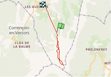

7.7 km | 13.8 km-effort

User


FREE GPS app for hiking
 SityTrail
IGN / Geographical institutes
SityTrail World
The world is yours!
Trail Walking of 9.3 km to be discovered at Auvergne-Rhône-Alpes, Isère, Villard-de-Lans. This trail is proposed by SabetMick.
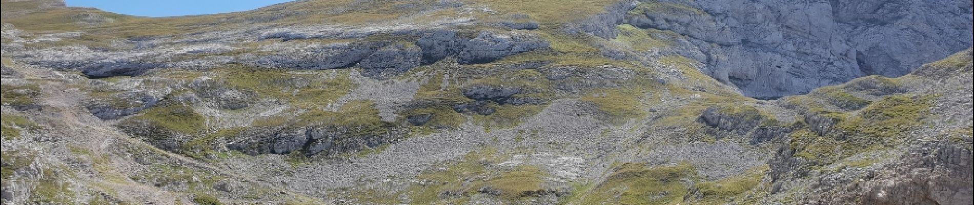
Superbe randonnée au départ des télécabines côtes 2000 en direction du col et en passant par le lac de la Moucherolle au retour.


Walking

Walking

Walking

Mountain bike

Walking

Walking

Walking

Walking

Walking