Trail Mountain bike Lugny - Autour de Lugny - Photo
 tracegps
tracegps

User

© OpenStreetMap contributors
Length
Length
29 km
Max alt
Max alt
572 m
Uphill gradient
Uphill gradient
714 m
Km-Effort
Km-Effort  
38 km
Min alt
Min alt
210 m
Downhill gradient
Downhill gradient
714 m
Boucle
Boucle
Yes
Creation date :
2014-12-10 00:00:00.0
Updated on :
2014-12-10 00:00:00.0

(0 Reviews)

Mountain bike
Mountain bike
3h00
Difficulty : Difficult

Scan this QR Code to open this trail in the SityTrail application

FREE GPS app for hiking

Logo SityTrail SityTrail

IGN / Geographical institutes

Download SityTrail from the App Store Download SityTrail from Google Play

Logo SityTrail SityTrail World

The world is yours!

Download SityTrail from the App Store Download SityTrail from Google Play Download SityTrail on Huawei AppGallery

About

Trail Mountain bike of 29 km to be discovered at Bourgogne-Franche-Comté, Saône-et-Loire, Lugny. This trail is proposed by tracegps.

Description

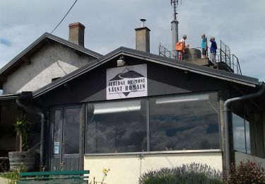
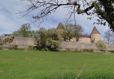
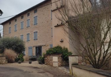
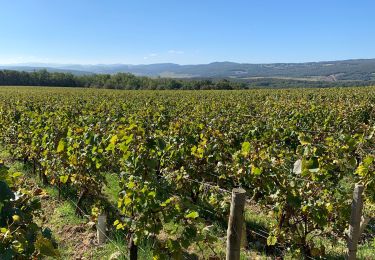
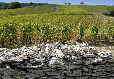
Cette randonnée praticable toute l'année, va vous permettre de découvrir des paysages nombreux et variés. Entre vignes et sous bois, entre chemins forestiers et chemins de randonnées, partez à la découverte de la Saône et Loire autour de Lugny. La première partie de cette randonnée vous donne la possibilité de découvrir un point de vue superbe au Mont Saint Romain. Vous allez emprunter sur quelques centaines de mètres au cumul des routes départementales qui n'ont pas un fort trafic, mais au final cette randonnée qui allie routes, chemins forestiers et chemins de randonnées, est super ! Cette balade est à faire toute l'année, mais je pense qu'il faut privilégier le printemps et l'automne pour apprécier au maximum les paysages. Attention cependant aux lendemains de fortes pluies, certains passages sont très gras surtout dans les sous bois avant le petit village de Burgy sur la première partie de la randonnée.

Elevation profile

Positioning

Country:
France
Region :
Bourgogne-Franche-Comté
Department/Province :
Saône-et-Loire
Municipality :
Lugny
Location:
Unknown
Start:(UTM)
639069 ; 5147992 (31T) N.

Trails nearby

Trail Walking Saint-Gengoux-de-Scissé - Saint Gengoux de scisse le Mont St Romain page 146 - Photo
Walking
grasgilbert

Walking

Difficult
(1)
Saint-Gengoux-de-Scissé, Bourgogne-Franche-Comté, Saône-et-Loire, France
18.2 km | 26 km-effort
5h 38min
Yes
Trail Walking Chardonnay - Chardonnay Gratay  - Photo
Walking
Claude 71

Walking

Medium
Chardonnay, Bourgogne-Franche-Comté, Saône-et-Loire, France
9.2 km | 11.3 km-effort
2h 5min
Yes
Trail Walking Cruzille - Cruzille Rst - Photo
Walking
hubert REVILLOT 2

Walking

Medium
Cruzille, Bourgogne-Franche-Comté, Saône-et-Loire, France
12.1 km | 17.8 km-effort
3h 17min
No
Trail Walking Burgy - rando burgy - Photo
Walking
Lillie Zennily

Walking

Difficult
Burgy, Bourgogne-Franche-Comté, Saône-et-Loire, France
11.4 km | 16.2 km-effort
2h 37min
Yes
Trail Walking Clessé - classe rst - Photo
Walking
hubert REVILLOT 2

Walking

Medium
Clessé, Bourgogne-Franche-Comté, Saône-et-Loire, France
6.9 km | 10.7 km-effort
2h 3min
No
Trail Walking Cruzille - Martailly rst - Photo
Walking
hubert REVILLOT 2

Walking

Easy
Cruzille, Bourgogne-Franche-Comté, Saône-et-Loire, France
15.9 km | 20 km-effort
3h 20min
No
Trail Walking Grevilly - Grevilly le14-10-2021 - Photo
Walking
jpdroux

Walking

Very difficult
Grevilly, Bourgogne-Franche-Comté, Saône-et-Loire, France
65 km | 73 km-effort
8h 19min
No
Trail Walking Chardonnay - Tournuscimes 2011 - Chardonnay - Photo
Walking
tracegps

Walking

Difficult
Chardonnay, Bourgogne-Franche-Comté, Saône-et-Loire, France
23 km | 30 km-effort
5h 0min
Yes
Trail Horseback riding Chissey-lès-Mâcon - Bon chemin Manon  - Photo
Horseback riding
guitounette

Horseback riding

Easy
Chissey-lès-Mâcon, Bourgogne-Franche-Comté, Saône-et-Loire, France
3.5 km | 5.1 km-effort
1h 0min
No


Close
My subscriptions