17.9 km | 21 km-effort
Autour de Landerneau
tracegps
User
Length
15.9 km
Max alt
174 m
Uphill gradient
258 m
Km-Effort
19.3 km
Min alt
2 m
Downhill gradient
262 m
Boucle
Yes
Creation date :
2014-12-10 00:00:00.0
Updated on :
2014-12-10 00:00:00.0
1h30
Difficulty : Difficult
FREE GPS app for hiking
About
Trail Running of 15.9 km to be discovered at Brittany, Finistère, Landerneau. This trail is proposed by tracegps.
Description
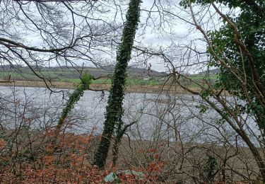
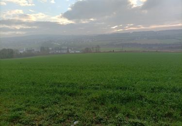
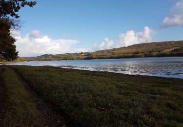
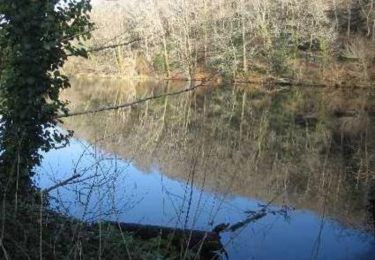
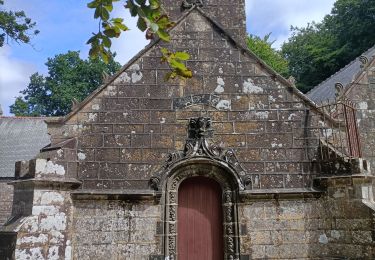
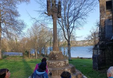
En partant de Landerneau autour du bois de Pencran.

Positioning
Country:
France
Region :
Brittany
Department/Province :
Finistère
Municipality :
Landerneau
Location:
Unknown
Start:(Dec)
Start:(UTM)
407646 ; 5367115 (30U) N.
Comments
Trails nearby
landerneau forest landerneau
Nordic walking
Very easy
Landerneau,
Brittany,
Finistère,
France
16.5 km | 19.4 km-effort
3h 40min
Yes
la forest landerneau vers landerneau
Nordic walking
Very easy
La Forest-Landerneau,
Brittany,
Finistère,
France
7.5 km | 9.1 km-effort
1h 50min
Yes
maison blanche brest.phare du delec
Other activity
Difficult
Landerneau,
Brittany,
Finistère,
France
36 km | 44 km-effort
6h 14min
No
La Roche Maurice
Walking
Very easy
La Roche-Maurice,
Brittany,
Finistère,
France
8.4 km | 10.3 km-effort
2h 2min
Yes
PR Grand tour de la Forest-Landerneau
Walking
Easy
La Forest-Landerneau,
Brittany,
Finistère,
France
10.8 km | 13.2 km-effort
1h 56min
Yes
La Forest Landerneau
Walking
Medium
La Forest-Landerneau,
Brittany,
Finistère,
France
11 km | 14.3 km-effort
2h 19min
Yes
chapelle Saint-Jean le long de la rivière
Nordic walking
Very easy
Dirinon,
Brittany,
Finistère,
France
18.5 km | 22 km-effort
2h 31min
No
dirinon en suivant l elorn chapelle st jean
Nordic walking
Very easy
Dirinon,
Brittany,
Finistère,
France
10.3 km | 12.6 km-effort
2h 6min
Yes