


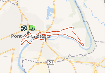

8.7 km | 10.5 km-effort


User


FREE GPS app for hiking
 SityTrail
IGN / Geographical institutes
SityTrail World
The world is yours!
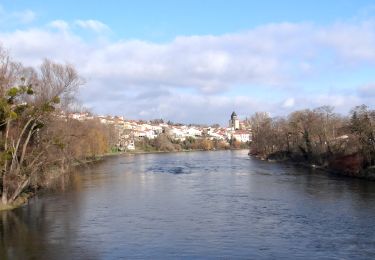
Trail Walking of 8 km to be discovered at Auvergne-Rhône-Alpes, Puy-de-Dôme, Pont-du-Château. This trail is proposed by tracegps.
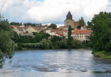
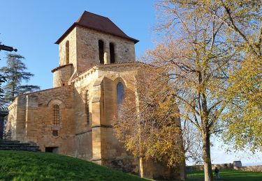
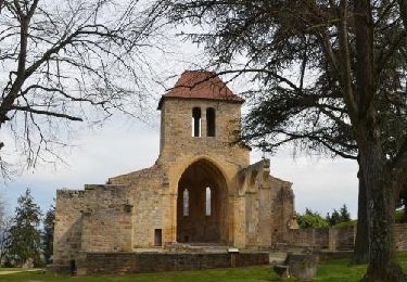
Départ de la randonnée à la Mairie de Pont du Château; explications et documentation dans le guide Chamina "Au fil de l'Allier".


Walking
On foot
On foot
On foot

Mountain bike

On foot
Walking
Walking
Walking