


9.5 km | 13.3 km-effort

User


FREE GPS app for hiking
 SityTrail
IGN / Geographical institutes
SityTrail World
The world is yours!
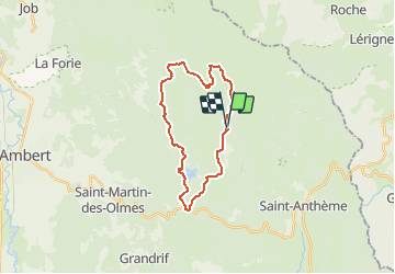
Trail Mountain bike of 23 km to be discovered at Auvergne-Rhône-Alpes, Puy-de-Dôme, Saint-Anthème. This trail is proposed by tracegps.
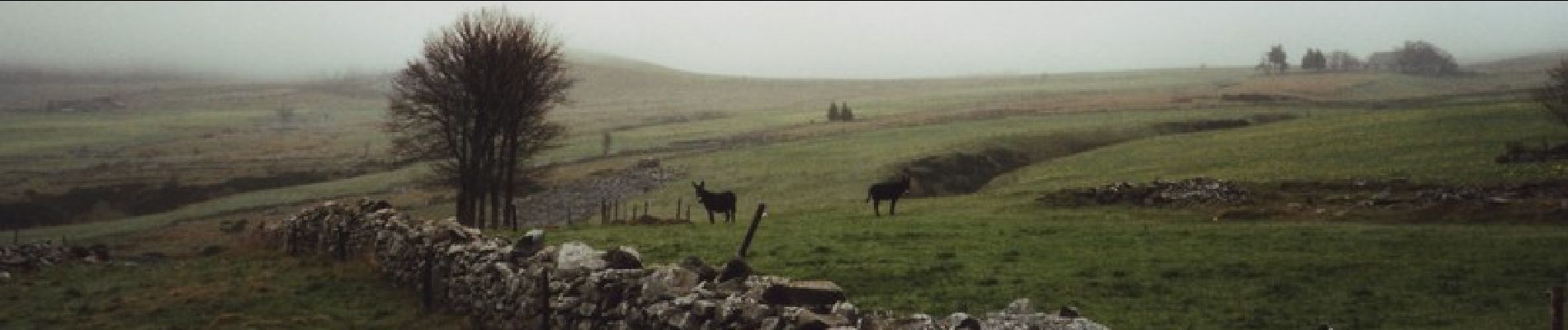
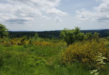
Espace VTT FFC de la Vallée de l’Ance Circuit labellisé par la Fédération Française de Cyclisme. Ce circuit plutôt physique et technique vous permettra d’accéder à la beauté sauvage des grands espaces des Hautes-Chaumes. Vous serez récompensé par la découverte d’un magnifique panorama : barrage des Pradeaux, monts du Livradois, monts Dôme, monts Dore, monts du Cantal, monts du Velay.


Walking

Walking

On foot

On foot
On foot

Walking
On foot
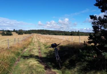
Mountain bike
Walking