


27 km | 33 km-effort


User


FREE GPS app for hiking
 SityTrail
IGN / Geographical institutes
SityTrail World
The world is yours!
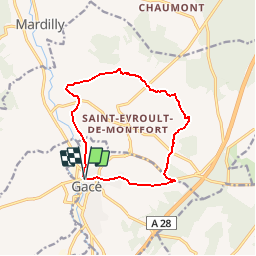
Trail Mountain bike of 11.1 km to be discovered at Normandy, Orne, Gacé. This trail is proposed by tracegps.
Espace VTT FFC du Pays d’Auge Ornais Circuit labellisé par la Fédération Française de Cyclisme. Gacé : son musée de la Dame aux Camélias, son château.

Mountain bike
Mountain bike
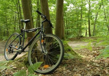
Mountain bike


Running

Walking

Hybrid bike
Mountain bike