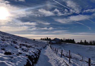
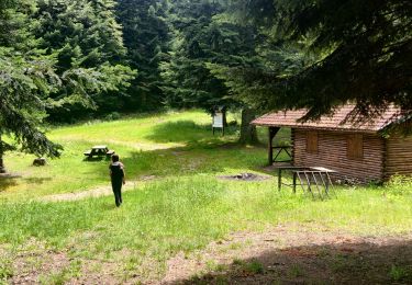
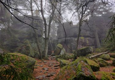
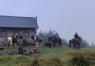
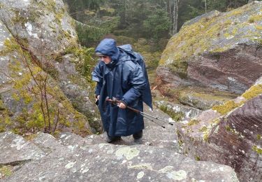
Trail Walking Sainte-Marie-aux-Mines - Echery Grand Brézouard - Photo
 tracegps
tracegps

User

© OpenStreetMap contributors
Length
Length
14.5 km
Max alt
Max alt
1226 m
Uphill gradient
Uphill gradient
811 m
Km-Effort
Km-Effort  
25 km
Min alt
Min alt
427 m
Downhill gradient
Downhill gradient
811 m
Boucle
Boucle
Yes
Creation date :
2014-12-10 00:00:00.0
Updated on :
2014-12-10 00:00:00.0

(1 Reviews)

Walking
Walking
5h00
Difficulty : Difficult

Scan this QR Code to open this trail in the SityTrail application

FREE GPS app for hiking

Logo SityTrail SityTrail

IGN / Geographical institutes

Download SityTrail from the App Store Download SityTrail from Google Play

Logo SityTrail SityTrail World

The world is yours!

Download SityTrail from the App Store Download SityTrail from Google Play Download SityTrail on Huawei AppGallery

About

Trail Walking of 14.5 km to be discovered at Grand Est, Haut-Rhin, Sainte-Marie-aux-Mines. This trail is proposed by tracegps.

Description

Prendre la direction du centre du village, emprunter sur la gauche le chemin balisé croix jaune qui grimpe au sommet du Schulberg (627 mi. Suivre la ligne de crête qui monte au point coté 934 m pour redescendre vers un chemin carrossable. Le traverser pour arriver au début du pré de la Ferme Auberge Haïcot... La suite et d’autres informations et photos sont disponibles ICI Balade proposée par « Alsace en randonnée.» Balisage : la plupart des sentiers dans la montagne vosgienne sont tracés, entretenus et balisés bénévolement par les membres du Club Vosgien, d'une façon tout à fait remarquable. Les différents signes en couleur (rectangle, disque, triangle, croix, etc...) sont reproduits sur la carte.

Elevation profile

Photos

Positioning

Country:
France
Region :
Grand Est
Department/Province :
Haut-Rhin
Municipality :
Sainte-Marie-aux-Mines
Location:
Unknown
Start:(UTM)
363515 ; 5343667 (32U) N.

Comments

Please log in to post a review or rate the element


Trails nearby

Trail Walking Sainte-Marie-aux-Mines - 2021-02-14 Marche Bagenelles Brezouard Fuste de Etoile - Photo
Walking
GUIDE
holtzv

Walking

Very difficult
Sainte-Marie-aux-Mines, Grand Est, Haut-Rhin, France
17.1 km | 27 km-effort
6h 6min
Yes
Trail Walking Sainte-Marie-aux-Mines - 2020-06-20 Marche Tete du Violu Col de Ste Marie - Photo
Walking
GUIDE
holtzv

Walking

Very easy
Sainte-Marie-aux-Mines, Grand Est, Haut-Rhin, France
14.1 km | 21 km-effort
4h 14min
Yes
Trail Horseback riding Aubure - 2019-11-03 WE Aubure Taennchel - Photo
Horseback riding
GUIDE
holtzv

Horseback riding

Very easy
Aubure, Grand Est, Haut-Rhin, France
27 km | 41 km-effort
7h 45min
Yes
Trail Horseback riding Aubure - 2019-11-02 WE Aubure Brezouard - Photo
Horseback riding
GUIDE
holtzv

Horseback riding

Very easy
Aubure, Grand Est, Haut-Rhin, France
25 km | 39 km-effort
5h 57min
Yes
Trail Walking Ban-de-Laveline - 20130508 - Photo
Walking
pida

Walking

Very easy
(1)
Ban-de-Laveline, Grand Est, Vosges, France
7.6 km | 11.1 km-effort
2h 19min
Yes
Trail Horseback riding Aubure - Circuit Alsace Vosges Aubure Orbey Et Cigognes - Photo
Horseback riding
GUIDE+

Horseback riding

Difficult
Aubure, Grand Est, Haut-Rhin, France
30 km | 44 km-effort
5h 44min
No
Trail On foot Sainte-Marie-aux-Mines - Le Haïcot - Le Petit Brézouard - Le Haïcot - Photo
On foot
patrickbeyrath

On foot

Easy
(2)
Sainte-Marie-aux-Mines, Grand Est, Haut-Rhin, France
7.1 km | 10.5 km-effort
2h 23min
Yes
Trail Walking Aubure - Aubure rocher du tétras  - Photo
Walking
apa

Walking

Medium
Aubure, Grand Est, Haut-Rhin, France
10.9 km | 14.6 km-effort
3h 54min
Yes
Trail Walking Aubure - Col de Freland Pierre des trois bans Aubure - Photo
Walking
zazie

Walking

Medium
Aubure, Grand Est, Haut-Rhin, France
7.9 km | 12.7 km-effort
1h 50min
Yes


Close
My subscriptions