


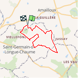

12.1 km | 13.5 km-effort

User


FREE GPS app for hiking
 SityTrail
IGN / Geographical institutes
SityTrail World
The world is yours!
Trail Walking of 12.1 km to be discovered at New Aquitaine, Deux-Sèvres, Amailloux. This trail is proposed by tracegps.
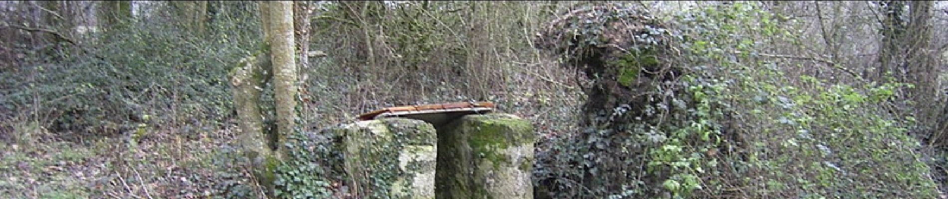
Circuit très agréable sur chemins et petites routes peu fréquentées, belles vues et beaux arbres, arrière pays, la campagne comme on l'aime. Propre même après la pluie. Peu être pratiqué en groupe ( photo "chemin" ) Tracé sur la carte IGN au 1/25000. Seul difficulté, en voiture trouver le point de départ.


Walking
Walking