


10.2 km | 12.9 km-effort

User


FREE GPS app for hiking
 SityTrail
IGN / Geographical institutes
SityTrail World
The world is yours!
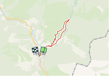
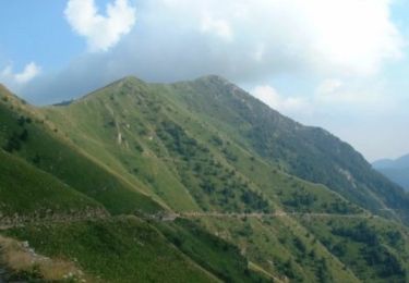
Trail Mountain bike of 5.2 km to be discovered at Provence-Alpes-Côte d'Azur, Maritime Alps, Tende. This trail is proposed by tracegps.
Espace VTT - FFC Haute Roya Circuit labellisé par la Fédération Française de Cyclisme. Circuit familial dans le vallon de la Pia, idéal pour s'initier au VTT.


Walking

Walking

Walking
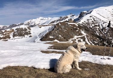
Snowshoes

Walking
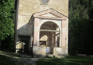
Walking
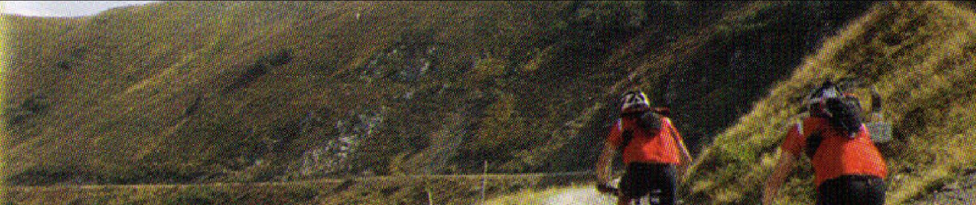
Mountain bike
Walking

On foot