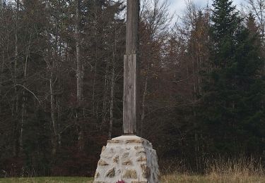
Trail Mountain bike Champdor-Corcelles - Espace VTT FFC du Bugey - Circuit n° 24 - Photo

Espace VTT FFC du Bugey - Circuit n° 24

 tracegps
tracegps

User

© OpenStreetMap contributors
Length
Length
13.8 km
Max alt
Max alt
1026 m
Uphill gradient
Uphill gradient
364 m
Km-Effort
Km-Effort  
18.6 km
Min alt
Min alt
831 m
Downhill gradient
Downhill gradient
364 m
Boucle
Boucle
Yes
Creation date :
2014-12-10 00:00:00.0
Updated on :
2014-12-10 00:00:00.0

(0 Reviews)

Mountain bike
Mountain bike
1h30
Difficulty : Difficult

Scan this QR Code to open this trail in the SityTrail application

FREE GPS app for hiking

Logo SityTrail SityTrail

IGN / Geographical institutes

Download SityTrail from the App Store Download SityTrail from Google Play

Logo SityTrail SityTrail World

The world is yours!

Download SityTrail from the App Store Download SityTrail from Google Play Download SityTrail on Huawei AppGallery

About

Trail Mountain bike of 13.8 km to be discovered at Auvergne-Rhône-Alpes, Ain, Champdor-Corcelles. This trail is proposed by tracegps.

Description

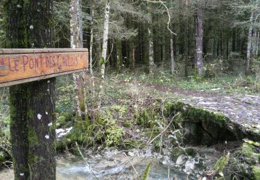
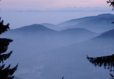
Espace VTT - FFC du Bugey no 38 Circuit labellisé par la Fédération Française de Cyclisme. Le relief de moyenne montagne du Plateau d’Hauteville permet tout naturellement la pratique du VTT. Des itinéraires accessibles à tous, du vététiste bucolique au plus sportif. Départ sur le parking du magasin « Servi Nature ». Parcours tracé par un passionné de VTT. Parcours technique et vallonné avec de nombreuses difficultés. Réservé aux amateurs de VTT ayant le goût de l’effort !

Elevation profile

Photos

Positioning

Country:
France
Region :
Auvergne-Rhône-Alpes
Department/Province :
Ain
Municipality :
Champdor-Corcelles
Location:
Corcelles
Start:(UTM)
699463 ; 5101659 (31T) N.

Trails nearby

Trail On foot Vieu-d'Izenave - les pentes de l'Avocat - Photo
On foot
Fabulous26

On foot

Medium
(1)
Vieu-d'Izenave, Auvergne-Rhône-Alpes, Ain, France
11.4 km | 16.9 km-effort
Unknown
Yes
Trail Walking Brénod - 01-Chartreuse de Meyriay - Brenod - Photo
Walking
Maryma

Walking

Medium
Brénod, Auvergne-Rhône-Alpes, Ain, France
20 km | 30 km-effort
5h 34min
Yes
Trail Walking Vieu-d'Izenave - Rivoire - Meyriat  - Photo
Walking
Jackoyo

Walking

Very easy
Vieu-d'Izenave, Auvergne-Rhône-Alpes, Ain, France
9.8 km | 13.5 km-effort
2h 13min
Yes
Trail Walking Lantenay - lantenay - Photo
Walking
GUIDE
loca.yves

Walking

Easy
Lantenay, Auvergne-Rhône-Alpes, Ain, France
9.4 km | 12.4 km-effort
2h 59min
Yes
Trail Walking Vieu-d'Izenave - les petit cochons - Photo
Walking
colomb24

Walking

Easy
Vieu-d'Izenave, Auvergne-Rhône-Alpes, Ain, France
9 km | 10.6 km-effort
2h 28min
Yes
Trail Walking Champdor-Corcelles - Espace VTT FFC du Bugey - Circuit n° 24 - Photo
Walking
tracegps

Walking

Difficult
Champdor-Corcelles, Auvergne-Rhône-Alpes, Ain, France
13.8 km | 18.6 km-effort
2h 30min
Yes
Trail Walking Brénod - Le Jorat 2 - Photo
Walking
Jackoyo

Walking

Medium
Brénod, Auvergne-Rhône-Alpes, Ain, France
10.4 km | 14.5 km-effort
2h 32min
Yes
Trail Walking Lantenay - Lantenay - Photo
Walking
regis400

Walking

Easy
Lantenay, Auvergne-Rhône-Alpes, Ain, France
10 km | 14.8 km-effort
2h 46min
Yes
Trail Walking Vieu-d'Izenave - Rivoire Meyriat Marron - Photo
Walking
HB01

Walking

Medium
Vieu-d'Izenave, Auvergne-Rhône-Alpes, Ain, France
14.4 km | 20 km-effort
3h 59min
Yes


Close
My subscriptions