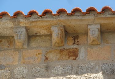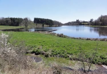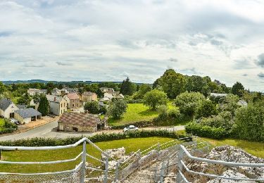

Roche d'Agoux par Vergheas

tracegps
User

Length
16.4 km

Max alt
702 m

Uphill gradient
410 m

Km-Effort
22 km

Min alt
508 m

Downhill gradient
412 m
Boucle
Yes
Creation date :
2014-12-10 00:00:00.0
Updated on :
2014-12-10 00:00:00.0
4h45
Difficulty : Difficult

FREE GPS app for hiking
About
Trail Walking of 16.4 km to be discovered at Auvergne-Rhône-Alpes, Puy-de-Dôme, Vergheas. This trail is proposed by tracegps.
Description
Balade numérisée sur le terrain par Jean louis Phillipart. Retrouvez cette randonnée dans le topo Guide Chamina Les Combrailles.
Positioning
Country:
France
Region :
Auvergne-Rhône-Alpes
Department/Province :
Puy-de-Dôme
Municipality :
Vergheas
Location:
Unknown
Start:(Dec)
Start:(UTM)
470242 ; 5097406 (31T) N.
Comments
Trails nearby

La Roche d'Agoux


On foot
Medium
Roche-d'Agoux,
Auvergne-Rhône-Alpes,
Puy-de-Dôme,
France

16.1 km | 21 km-effort
4h 52min
Yes

Bascobert


On foot
Easy
Biollet,
Auvergne-Rhône-Alpes,
Puy-de-Dôme,
France

14.2 km | 17.9 km-effort
4h 3min
Yes

Vergheas_Roche_Agoux


Walking
Medium
Vergheas,
Auvergne-Rhône-Alpes,
Puy-de-Dôme,
France

16.1 km | 21 km-effort
4h 45min
Yes

saint maurice près pionsat


Mountain bike
Very difficult
Saint-Maurice-près-Pionsat,
Auvergne-Rhône-Alpes,
Puy-de-Dôme,
France

37 km | 47 km-effort
4h 7min
Yes

Balade à Bussières


Walking
Easy
Bussières,
Auvergne-Rhône-Alpes,
Puy-de-Dôme,
France

5.6 km | 7.8 km-effort
1h 46min
Yes

Balade à Saint-Maurice-près-Pionsat


Walking
Easy
Saint-Maurice-près-Pionsat,
Auvergne-Rhône-Alpes,
Puy-de-Dôme,
France

3.9 km | 4.7 km-effort
1h 3min
Yes

Circuit de randonnée : circuit des puits


Walking
Medium
Dontreix,
New Aquitaine,
Creuse,
France

10.1 km | 13.1 km-effort
2h 58min
Yes

Circuit de la Vergnade


Walking
Medium
Charron,
New Aquitaine,
Creuse,
France

12.3 km | 15.6 km-effort
3h 33min
Yes

Circuit des bois de Drouille


Walking
Medium
Charron,
New Aquitaine,
Creuse,
France

5.6 km | 7.1 km-effort
1h 36min
Yes


 SityTrail


