![](/images/other/stat-length.png)
![Trail Mountain bike Saint-Saturnin - Randol près de St. Saturnin - Photo](https://media.geolcdn.com/t/1900/400/ext.pjpeg?maxdim=2&url=https%3A%2F%2Fservices.sitytrail.com%2FGeolivesWS%2FDownloadMedia.ashx%3FTrailID%3D101851%26Media%3D2137_1.jpg)
Randol près de St. Saturnin
tracegps
User
![Length](/images/other/stat-length.png)
Length
8 km
![Max alt](https://static1.geolcdn.com/siteimages/upload/files/1508320355ic_sort_altitude_max_24dp.png)
Max alt
697 m
![Uphill gradient](https://static1.geolcdn.com/siteimages/upload/files/1508320355ic_sort_den_pos_24dp.png)
Uphill gradient
209 m
![Km-Effort](/images/other/stat-length.png)
Km-Effort
10.8 km
![Min alt](https://static1.geolcdn.com/siteimages/upload/files/1508320355ic_sort_altitude_min_24dp.png)
Min alt
507 m
![Downhill gradient](https://static1.geolcdn.com/siteimages/upload/files/1508320355ic_sort_den_neg_24dp.png)
Downhill gradient
208 m
![Boucle](https://static1.geolcdn.com/siteimages/upload/files/16400158638029165_repeat_loop_refresh_sync_direction_icon.png)
Boucle
Yes
Creation date :
2014-12-10 00:00:00.0
Updated on :
2014-12-10 00:00:00.0
![Mountain bike](https://static1.geolcdn.com/sitytour/trail-icons/202.png)
2h15
Difficulty : Medium
![Scan this QR Code to open this trail in the SityTrail application](https://capi.geolives.com/qq0zvz2zws4bq2lad0pu/sitytour/trails/101851/qr.png?size=200)
FREE GPS app for hiking
About
Trail Mountain bike of 8 km to be discovered at Auvergne-Rhône-Alpes, Puy-de-Dôme, Saint-Saturnin. This trail is proposed by tracegps.
Description
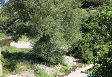
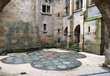
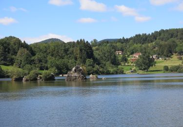
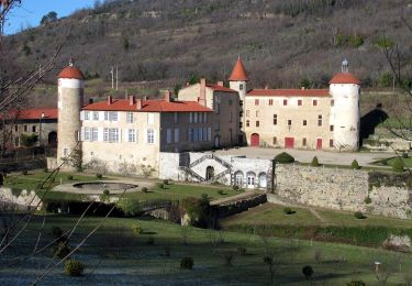
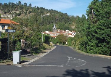
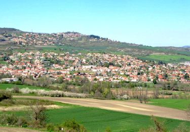
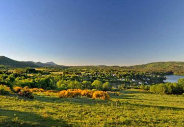
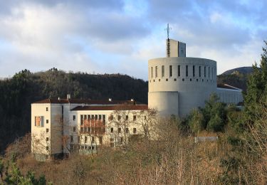
Balade numérisée sur le terrain par Jean louis Phillipart. Plus d'infos et de photos sur le site de l’abbaye de Randol.(source photo) Retrouvez cette randonnée dans le topo Guide Chamina Le Puy de Dome.
Positioning
Country:
France
Region :
Auvergne-Rhône-Alpes
Department/Province :
Puy-de-Dôme
Municipality :
Saint-Saturnin
Location:
Unknown
Start:(Dec)
Start:(UTM)
507042 ; 5056209 (31T) N.
Comments
Trails nearby
![Trail On foot Saint-Saturnin - Randol - Photo](https://media.geolcdn.com/t/375/260/9e85dae3-ad96-41f9-a960-52d6d206727c.jpeg&format=jpg&maxdim=2)
![On foot On foot](https://static1.geolcdn.com/sitytour/trail-icons/100.png)
Randol
On foot
Easy
(1)
Saint-Saturnin,
Auvergne-Rhône-Alpes,
Puy-de-Dôme,
France
![](/images/other/stat-length.png)
7.8 km | 10.6 km-effort
2h 24min
![](https://static1.geolcdn.com/siteimages/upload/files/16400158638029165_repeat_loop_refresh_sync_direction_icon.png)
Yes
![Trail On foot Saint-Saturnin - Les Cirques de longevette et des Cotes - Photo](https://media.geolcdn.com/t/375/260/35f5865b-8ac0-4231-943a-09bc6fa13964.jpeg&format=jpg&maxdim=2)
![On foot On foot](https://static1.geolcdn.com/sitytour/trail-icons/100.png)
Les Cirques de longevette et des Cotes
On foot
Easy
Saint-Saturnin,
Auvergne-Rhône-Alpes,
Puy-de-Dôme,
France
![](/images/other/stat-length.png)
5.4 km | 7.1 km-effort
1h 37min
![](https://static1.geolcdn.com/siteimages/upload/files/16400158638029165_repeat_loop_refresh_sync_direction_icon.png)
Yes
![Trail On foot Saint-Amant-Tallende - Le Puy de Peyronere - Photo](https://media.geolcdn.com/t/375/260/a5859447-4468-4d79-8d71-76c1effac2f0.jpeg&format=jpg&maxdim=2)
![On foot On foot](https://static1.geolcdn.com/sitytour/trail-icons/100.png)
Le Puy de Peyronere
On foot
Easy
Saint-Amant-Tallende,
Auvergne-Rhône-Alpes,
Puy-de-Dôme,
France
![](/images/other/stat-length.png)
9.5 km | 13 km-effort
2h 57min
![](https://static1.geolcdn.com/siteimages/upload/files/16400158638029165_repeat_loop_refresh_sync_direction_icon.png)
Yes
![Trail On foot Saint-Genès-Champanelle - Nadaillat - Photo](https://media.geolcdn.com/t/375/260/f63239da-1e27-43d7-84c3-ba50289c6d9e.jpeg&format=jpg&maxdim=2)
![On foot On foot](https://static1.geolcdn.com/sitytour/trail-icons/100.png)
Nadaillat
On foot
Easy
Saint-Genès-Champanelle,
Auvergne-Rhône-Alpes,
Puy-de-Dôme,
France
![](/images/other/stat-length.png)
6.6 km | 9.3 km-effort
2h 7min
![](https://static1.geolcdn.com/siteimages/upload/files/16400158638029165_repeat_loop_refresh_sync_direction_icon.png)
Yes
![Trail On foot Chanonat - Le Crest - Photo](https://media.geolcdn.com/t/375/260/c9b3d1da-554f-4873-8d44-afc3e6570967.jpeg&format=jpg&maxdim=2)
![On foot On foot](https://static1.geolcdn.com/sitytour/trail-icons/100.png)
Le Crest
On foot
Easy
Chanonat,
Auvergne-Rhône-Alpes,
Puy-de-Dôme,
France
![](/images/other/stat-length.png)
10.7 km | 14.7 km-effort
3h 20min
![](https://static1.geolcdn.com/siteimages/upload/files/16400158638029165_repeat_loop_refresh_sync_direction_icon.png)
Yes
![Trail On foot Chanonat - Le Puy de Jussat - Photo](https://media.geolcdn.com/t/375/260/73982e6a-da33-4176-a420-7d563bd2d917.jpeg&format=jpg&maxdim=2)
![On foot On foot](https://static1.geolcdn.com/sitytour/trail-icons/100.png)
Le Puy de Jussat
On foot
Easy
Chanonat,
Auvergne-Rhône-Alpes,
Puy-de-Dôme,
France
![](/images/other/stat-length.png)
4.7 km | 6.8 km-effort
1h 32min
![](https://static1.geolcdn.com/siteimages/upload/files/16400158638029165_repeat_loop_refresh_sync_direction_icon.png)
Yes
![Trail Walking Saint-Saturnin - St saturnin - Photo](https://media.geolcdn.com/t/375/260/ext.jpg?maxdim=2&url=https%3A%2F%2Fstatic1.geolcdn.com%2Fsiteimages%2Fupload%2Ffiles%2F1553511878bg_sport_marche.png)
![Walking Walking](https://static1.geolcdn.com/sitytour/trail-icons/101.png)
St saturnin
Walking
Very easy
(1)
Saint-Saturnin,
Auvergne-Rhône-Alpes,
Puy-de-Dôme,
France
![](/images/other/stat-length.png)
15.7 km | 21 km-effort
4h 29min
![](https://static1.geolcdn.com/siteimages/upload/files/16400158638029165_repeat_loop_refresh_sync_direction_icon.png)
Yes
![Trail Walking Tallende - Tallende_Vergers - Photo](https://media.geolcdn.com/t/375/260/21ff72c2-26ec-4080-9597-4d3d84e8de42.jpg&format=jpg&maxdim=2)
![Walking Walking](https://static1.geolcdn.com/sitytour/trail-icons/101.png)
Tallende_Vergers
Walking
Easy
Tallende,
Auvergne-Rhône-Alpes,
Puy-de-Dôme,
France
![](/images/other/stat-length.png)
8.3 km | 10.5 km-effort
2h 30min
![](https://static1.geolcdn.com/siteimages/upload/files/16400158638029165_repeat_loop_refresh_sync_direction_icon.png)
Yes
![Trail Walking Chanonat - Chanonat_Chadrat_Montagne_Serre - Photo](https://media.geolcdn.com/t/375/260/a8132fed-526a-41c8-8565-da107e2efd0c.jpg&format=jpg&maxdim=2)
![Walking Walking](https://static1.geolcdn.com/sitytour/trail-icons/101.png)
Chanonat_Chadrat_Montagne_Serre
Walking
Medium
Chanonat,
Auvergne-Rhône-Alpes,
Puy-de-Dôme,
France
![](/images/other/stat-length.png)
12 km | 17.3 km-effort
3h 30min
![](https://static1.geolcdn.com/siteimages/upload/files/16400158638029165_repeat_loop_refresh_sync_direction_icon.png)
Yes