


10.2 km | 12.9 km-effort

User


FREE GPS app for hiking
 SityTrail
IGN / Geographical institutes
SityTrail World
The world is yours!
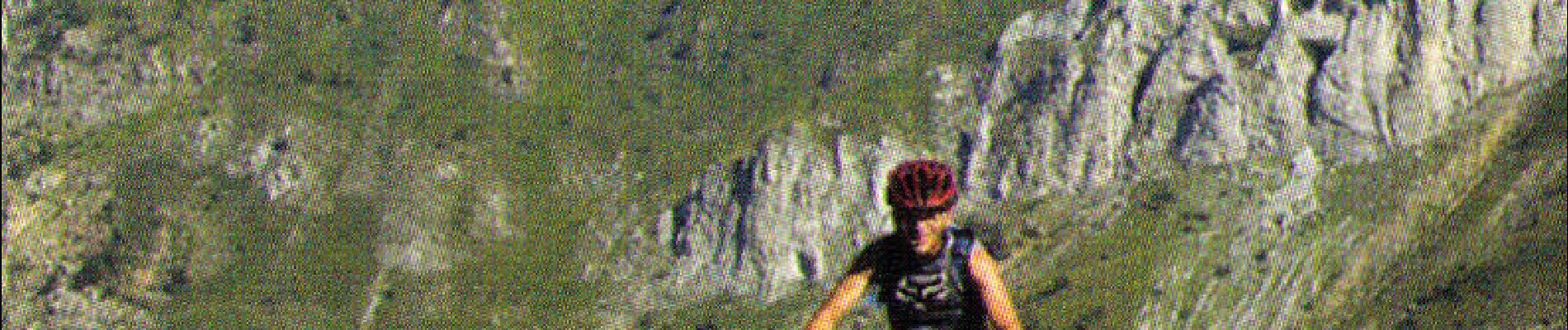
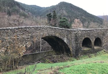
Trail Mountain bike of 14.3 km to be discovered at Provence-Alpes-Côte d'Azur, Maritime Alps, Tende. This trail is proposed by tracegps.
Espace VTT - FFC Haute Roya Circuit labellisé par la Fédération Française de Cyclisme. Une longue montée sur route suivie d’une descente de toute beauté où s’alternent des passages techniques trialisants et du sentier rapide.


Walking

Walking

Walking
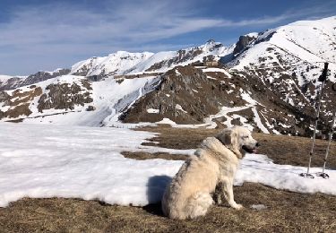
Snowshoes

Walking
Walking
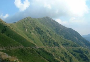
Mountain bike
Walking

On foot