


90 km | 111 km-effort

User


FREE GPS app for hiking
 SityTrail
IGN / Geographical institutes
SityTrail World
The world is yours!
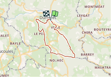
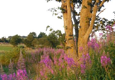
Trail Mountain bike of 12.5 km to be discovered at Auvergne-Rhône-Alpes, Haute-Loire, Dunières. This trail is proposed by tracegps.
Espace VTT FFC Le Velay des 3 Rivières Circuit labellisé par la Fédération Française de Cyclisme. La pratique du VTT constituant une des demandes majeures exprimées par les touristes et la population locale, la création d'un réseau de circuits V.T.T. a été décidée. 38 circuits ont été sélectionnés représentant 327 km de chemins ou sentiers appartenant au domaine public des communes. Enfin, pour parfaire la promotion de ce produit, le territoire est agréé, par la Fédération Française de Cyclisme (F.F.C.), Espace V.T.T. En contrepartie, cette recherche de qualité et ce label apporteront une notoriété importante à la région, auprès de tous les amateurs car l'Espace V.T.T. Velay des Trois Rivières bénéficie de la promotion faite par la F.F.C. et par Chamina, au niveau national. Le topo-guide est actuellement en vente dans le réseau Chamina, dans les Offices de Tourisme du territoire et auprès du Syndicat d’Initiative.

Road bike

Walking

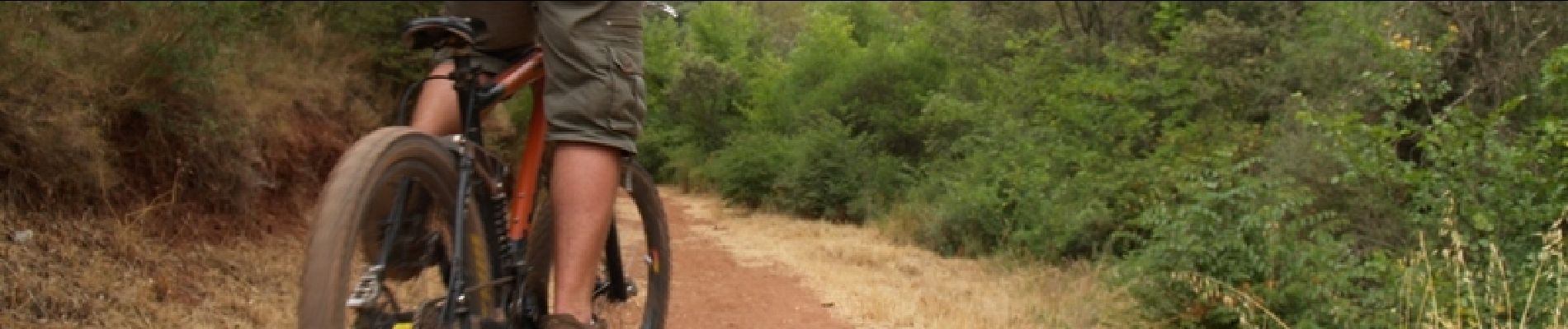
Mountain bike
Walking
Walking
Mountain bike
Mountain bike
Walking
Walking