


19.1 km | 30 km-effort

User


FREE GPS app for hiking
 SityTrail
IGN / Geographical institutes
SityTrail World
The world is yours!
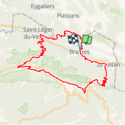
Trail Mountain bike of 44 km to be discovered at Provence-Alpes-Côte d'Azur, Vaucluse, Brantes. This trail is proposed by tracegps.
Le départ se fait de Brantes par la route qui monte en direction du col de Fontaube. A la sortie de Brantes, il faut prendre le GR 91C en direction du Trou du Pertuis. De la une piste nous mène à Fontaube puis nous rejoignons le Col de Fontaube via la route. Au col direction St Léger du Ventoux par le GR91 qui commence par une petite grimpette sur quelques centaines de mètres pour ensuite descendre au pied du Ventoux. Traverser le Toulourenc pour attaquer la grimpette depuis la maison forestière de Chante-Perdrix en direction de la station du Mont Serein. 2 km de goudron et il faut obliquer vers Les Gravières pour atteindre le sommet. La descente se fait via le GR4 jusqu'au col de Frache. De la il faut aller vers la baraque d'Aurel puis atteindre le Pas de la Frache. On plonge ensuite par un long single sur Savoillan. De Savoillan on rejoint Brantes sur la rive gauche du Toulourenc.


Walking
Walking

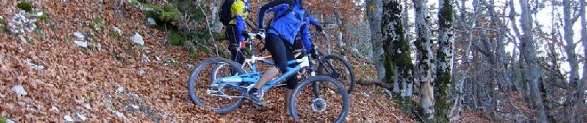
Mountain bike

Mountain bike

Mountain bike
Walking

Walking

Walking

Walking