


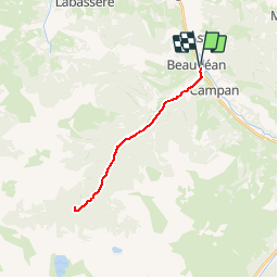

8.8 km | 12.9 km-effort


User


FREE GPS app for hiking
 SityTrail
IGN / Geographical institutes
SityTrail World
The world is yours!
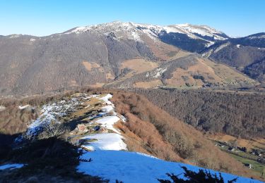
Trail Mountain bike of 22 km to be discovered at Occitania, Hautespyrenees, Beaudéan. This trail is proposed by tracegps.
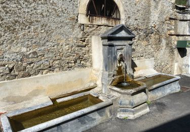
Haute Bigorre Circuit labellisé par la Fédération Française de Cyclisme. Rive droite orographique de l’Adour de Lesponne : le circuit permet de traverser et de découvrir un paysage de bocage et l’habitat traditionnel. Après avoir laissé la cascade de Magenta et de nombreux canaux, vous arrivez au Chiroulet, départ de randonnées pédestres dont celle du lac Bleu ( lac naturel le plus profond des Pyrénées -120m) Téléchargez le descriptif et le plan.

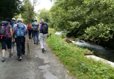
Walking

Walking
Walking
Walking

Road bike
Mountain bike
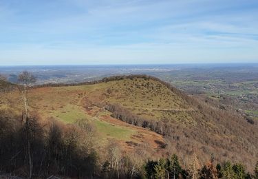
Walking

Walking

Walking