


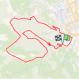

18.2 km | 30 km-effort

User


FREE GPS app for hiking
 SityTrail
IGN / Geographical institutes
SityTrail World
The world is yours!
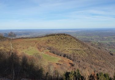
Trail Mountain bike of 6.5 km to be discovered at Occitania, Hautespyrenees, Bagnères-de-Bigorre. This trail is proposed by tracegps.
Haute Bigorre Circuit labellisé par la Fédération Française de Cyclisme. Col du Mont Olivet ; un endroit idéal pour une pause à l’ombre des chênes. Téléchargez le descriptif et le plan.


Walking
Walking
Walking
Walking

Road bike
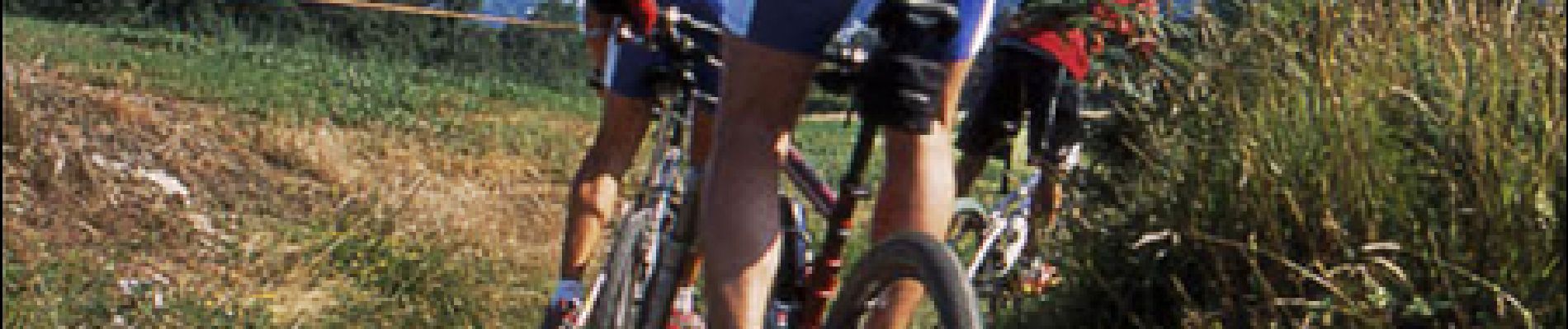
Mountain bike
Walking

Walking
Walking