


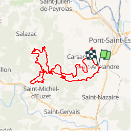

23 km | 29 km-effort


User


FREE GPS app for hiking
 SityTrail
IGN / Geographical institutes
SityTrail World
The world is yours!
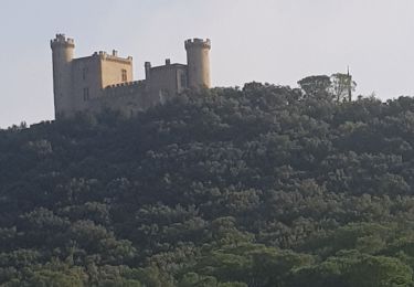
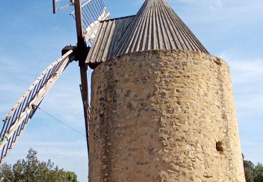
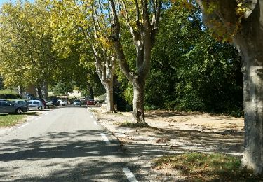
Trail Mountain bike of 41 km to be discovered at Occitania, Gard, Saint-Alexandre. This trail is proposed by tracegps.
Circuit exigeant physiquement et techniquement !!

Mountain bike
Walking

Walking
Walking
Walking

On foot
Walking
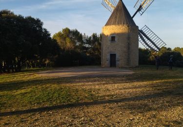
paumatoire et sentier parfois impraticable.
paumatoire et sentier parfois impraticable.