Trail Walking Plougonven - Espace VTT-FFC Morlaix Monts d'Arrée, circuit n°2 - Coatélan Plourin - Photo

Espace VTT-FFC Morlaix Monts d'Arrée, circuit n°2 - Coatélan Plourin

 tracegps
tracegps

User

© OpenStreetMap contributors
Length
Length
15.4 km
Max alt
Max alt
187 m
Uphill gradient
Uphill gradient
260 m
Km-Effort
Km-Effort  
18.9 km
Min alt
Min alt
69 m
Downhill gradient
Downhill gradient
260 m
Boucle
Boucle
Yes
Creation date :
2014-12-10 00:00:00.0
Updated on :
2014-12-10 00:00:00.0

(0 Reviews)

Walking
Walking
3h00
Difficulty : Very difficult

Scan this QR Code to open this trail in the SityTrail application

FREE GPS app for hiking

Logo SityTrail SityTrail

IGN / Geographical institutes

Download SityTrail from the App Store Download SityTrail from Google Play

Logo SityTrail SityTrail World

The world is yours!

Download SityTrail from the App Store Download SityTrail from Google Play Download SityTrail on Huawei AppGallery

About

Trail Walking of 15.4 km to be discovered at Brittany, Finistère, Plougonven. This trail is proposed by tracegps.

Description

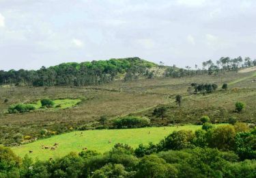
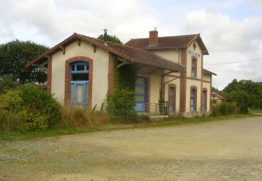
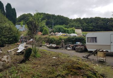
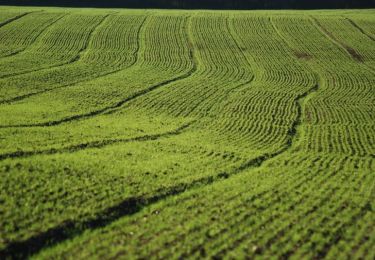
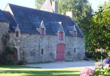
Espace VTT-FFC Morlaix Monts d’Arrée Circuit labellisé par la Fédération Française de Cyclisme. Au départ de l’ancienne gare sur la voie verte, le tracé emprunte les rives du Jarlot jusqu’au bourg de Plourin et son enclos paroissial pour arriver sur le plateau cultivé en traversant de petits hameaux aux maisons traditionnelles.

Elevation profile

Photos

Positioning

Country:
France
Region :
Brittany
Department/Province :
Finistère
Municipality :
Plougonven
Location:
Unknown
Start:(UTM)
443554 ; 5374639 (30U) N.

Trails nearby

Trail Mountain bike Plougonven - Espace VTT-FFC Morlaix Monts d'Arrée, circuit n°4 - Les Cragou - Photo
Mountain bike
tracegps

Mountain bike

Very difficult
(1)
Plougonven, Brittany, Finistère, France
28 km | 34 km-effort
2h 30min
No
Trail On foot Plougonven - Boucle de Coatanscour - Photo
On foot
GUIDE+

On foot

Easy
Plougonven, Brittany, Finistère, France
9.2 km | 10.9 km-effort
2h 28min
Yes
Trail On foot Plougonven - Boucle de Golodic - Photo
On foot
GUIDE+

On foot

Easy
Plougonven, Brittany, Finistère, France
6.9 km | 8.4 km-effort
1h 54min
Yes
Trail Walking Plougonven - 1er septembre plougonven - Photo
Walking
mumusa29

Walking

Easy
Plougonven, Brittany, Finistère, France
10.4 km | 12 km-effort
3h 53min
Yes
Trail Walking Plougonven - Autour de Plougonven - Photo
Walking
tracegps

Walking

Easy
Plougonven, Brittany, Finistère, France
4.1 km | 4.8 km-effort
1h 0min
Yes
Trail Walking Le Cloître-Saint-Thégonnec - Kermorgant - Photo
Walking
neleda

Walking

Medium
Le Cloître-Saint-Thégonnec, Brittany, Finistère, France
10.3 km | 12.6 km-effort
2h 48min
Yes
Trail Walking Plouigneau - Tour du Trégor morlaisien GR® 380 - GR® 34D: Plouigneau - Plouégat Moysan - Photo
Walking
tracegps

Walking

Difficult
Plouigneau, Brittany, Finistère, France
22 km | 28 km-effort
4h 40min
No
Trail Walking Plougonven - Gaspern en Plougonven - Photo
Walking
tracegps

Walking

Medium
Plougonven, Brittany, Finistère, France
13.2 km | 16.1 km-effort
3h 30min
Yes
Trail Mountain bike Plougonven - Espace VTT-FFC Morlaix Monts d'Arrée, circuit n°9 de Coatelan - Photo
Mountain bike
tracegps

Mountain bike

Medium
Plougonven, Brittany, Finistère, France
18.1 km | 22 km-effort
1h 30min
Yes


Close
My subscriptions