


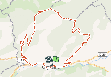

10.1 km | 15.2 km-effort


User


FREE GPS app for hiking
 SityTrail
IGN / Geographical institutes
SityTrail World
The world is yours!
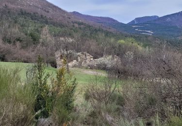
Trail Mountain bike of 13.6 km to be discovered at Provence-Alpes-Côte d'Azur, Hautes-Alpes, Orpierre. This trail is proposed by tracegps.
Circuit court mais assez technique en descente. Attention aux deux passages délicats signalés par des panneaux danger vtt.
Walking
Walking
Walking

Walking
Walking
Walking
Walking
Walking
Walking