


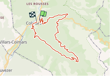


18.8 km | 29 km-effort


User


FREE GPS app for hiking
 SityTrail
IGN / Geographical institutes
SityTrail World
The world is yours!
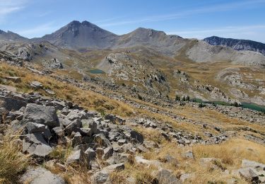
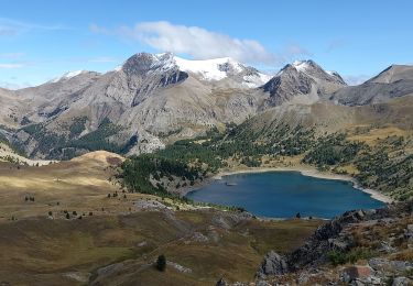
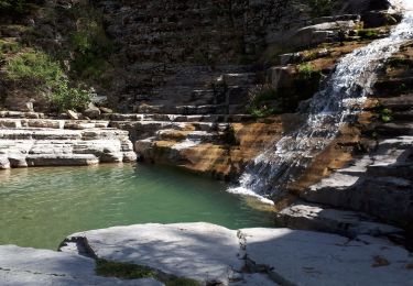
Trail Mountain bike of 22 km to be discovered at Provence-Alpes-Côte d'Azur, Alpes-de-Haute-Provence, Colmars. This trail is proposed by tracegps.
Pas de difficultes majeures. Montée par la route et fin de la montée en single. La descente n'a quasi aucune difficulte et reste plutot rapide.

Walking

Walking
Walking
Walking
Walking
Walking
Walking
Walking
Walking