26 km | 31 km-effort
Ile d'Ouessant - rando gps
tracegps
User
Length
27 km
Max alt
66 m
Uphill gradient
303 m
Km-Effort
31 km
Min alt
2 m
Downhill gradient
299 m
Boucle
Yes
Creation date :
2016-03-09 00:00:00.0
Updated on :
2016-03-09 00:00:00.0
7h00
Difficulty : Very difficult
FREE GPS app for hiking
About
Trail Walking of 27 km to be discovered at Brittany, Finistère, Ushant. This trail is proposed by tracegps.
Description
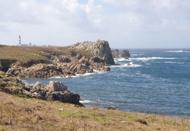
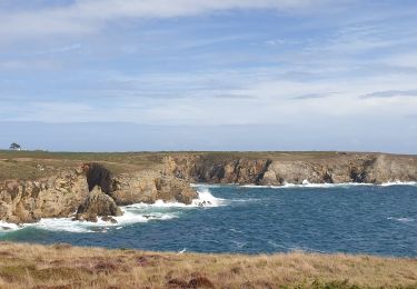
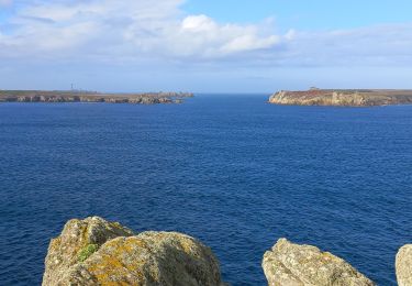
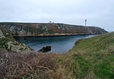
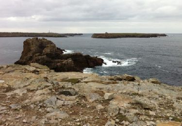
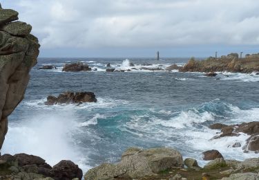
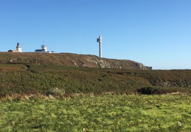
La côte sud de l'île d'Ouessant. Retrouvez toutes les descriptions sur le site Chemins de Bretagne
Positioning
Country:
France
Region :
Brittany
Department/Province :
Finistère
Municipality :
Ushant
Location:
Unknown
Start:(Dec)
Start:(UTM)
348192 ; 5370535 (30U) N.
Comments
Trails nearby
Lampaul - Lampaul
Walking
Easy
Ushant,
Brittany,
Finistère,
France
10.4 km | 11.9 km-effort
3h 10min
Yes
Port Ouessant - Lampaul
Walking
Easy
Ushant,
Brittany,
Finistère,
France
8.9 km | 10.6 km-effort
2h 26min
No
Côte Nord de l'ïle d'Ouessant
Walking
Medium
Ushant,
Brittany,
Finistère,
France
18.3 km | 22 km-effort
4h 52min
No
Tour d'Ouessant au
Walking
Medium
Ushant,
Brittany,
Finistère,
France
50 km | 58 km-effort
13h 18min
Yes
houassan île
Walking
Very easy
(1)
Ushant,
Brittany,
Finistère,
France
13.2 km | 15 km-effort
5h 11min
No
121107 Ouessant
Other activity
Very easy
Ushant,
Brittany,
Finistère,
France
18.8 km | 21 km-effort
4h 23min
No
Pointe de Pern à Ouessant
Walking
Easy
Ushant,
Brittany,
Finistère,
France
11.6 km | 13.4 km-effort
3h 12min
Yes
Île d’Ouessant-20092019
Running
Very difficult
Ushant,
Brittany,
Finistère,
France
33 km | 39 km-effort
5h 29min
Yes