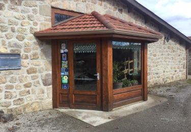
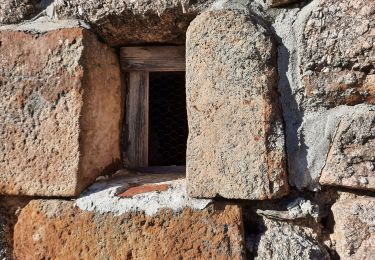
Trail Walking Alboussière - L'ABEALE - FERME DE BLANC - Photo

L'ABEALE - FERME DE BLANC

© OpenStreetMap contributors
Length
Length
14.4 km
Max alt
Max alt
626 m
Uphill gradient
Uphill gradient
326 m
Km-Effort
Km-Effort  
19.3 km
Min alt
Min alt
325 m
Downhill gradient
Downhill gradient
485 m
Boucle
Boucle
No
Creation date :
2019-01-15 13:52:24.906
Updated on :
2019-01-15 13:52:24.906

(0 Reviews)

Walking
Walking
5h00
Difficulty : Medium

Scan this QR Code to open this trail in the SityTrail application

FREE GPS app for hiking

Logo SityTrail SityTrail

IGN / Geographical institutes

Download SityTrail from the App Store Download SityTrail from Google Play

Logo SityTrail SityTrail World

The world is yours!

Download SityTrail from the App Store Download SityTrail from Google Play Download SityTrail on Huawei AppGallery

About

Trail Walking of 14.4 km to be discovered at Auvergne-Rhône-Alpes, Ardèche, Alboussière. This trail is proposed by anonsdessources.

Elevation profile

Positioning

Country:
France
Region :
Auvergne-Rhône-Alpes
Department/Province :
Ardèche
Municipality :
Alboussière
Location:
Unknown
Start:(UTM)
636499 ; 4975913 (31T) N.

Trails nearby

Trail Walking Boffres - boffre 07 - Photo
Walking
guyzinz

Walking

Very easy
(1)
Boffres, Auvergne-Rhône-Alpes, Ardèche, France
12.5 km | 16.9 km-effort
4h 25min
Yes
Trail Motor Boffres - sortie 3 jours Ardèche  - Photo
Motor
philou71111

Motor

Very easy
Boffres, Auvergne-Rhône-Alpes, Ardèche, France
595 km | 769 km-effort
108h 19min
No
Trail Walking Boffres - 07 boffres - Photo
Walking
GUIDE
randodyssée

Walking

Easy
Boffres, Auvergne-Rhône-Alpes, Ardèche, France
11.6 km | 15.7 km-effort
3h 55min
No
Trail Walking Champis - Tour de CHAMPIS - Photo
Walking
anonsdessources

Walking

Very difficult
Champis, Auvergne-Rhône-Alpes, Ardèche, France
25 km | 35 km-effort
7h 55min
Yes
Trail Walking Boffres - Boffres - Photo
Walking
Ann Matagrin

Walking

Very easy
Boffres, Auvergne-Rhône-Alpes, Ardèche, France
12.7 km | 17.1 km-effort
4h 15min
Yes
Trail Horseback riding Alboussière - SityTrail - :Circuit des Châtaignes - Photo
Horseback riding

Horseback riding

Very difficult
Alboussière, Auvergne-Rhône-Alpes, Ardèche, France
151 km | 212 km-effort
27h 56min
Yes
Trail Walking Boffres - Lierre Toulaud - Photo
Walking
friulana

Walking

Very easy
Boffres, Auvergne-Rhône-Alpes, Ardèche, France
5.9 km | 8.1 km-effort
2h 21min
Yes
Trail Horseback riding Champis - Jpn enfant  - Photo
Horseback riding
emma jung

Horseback riding

Champis, Auvergne-Rhône-Alpes, Ardèche, France
14.3 km | 18.1 km-effort
5h 38min
Yes
Trail Walking Toulaud - MN 3 LeTracol - Photo
Walking
grillojean

Walking

Very easy
Toulaud, Auvergne-Rhône-Alpes, Ardèche, France
6.2 km | 8.3 km-effort
1h 33min
Yes


Close
My subscriptions