


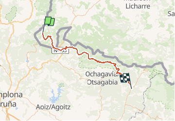

12.8 km | 22 km-effort

User


FREE GPS app for hiking
 SityTrail
IGN / Geographical institutes
SityTrail World
The world is yours!
Trail Mountain bike of 81 km to be discovered at New Aquitaine, Pyrénées-Atlantiques, Aldudes. This trail is proposed by tracegps.
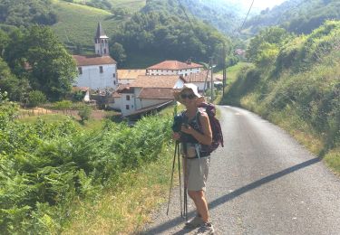
Mardi 28 Juin Levés à 6h, aujourd'hui on avait d'entrée plus de 1100m de denivelé à se frapper... Nous voilà partis à notre rythme : l'étape est longue et faudrait pas se griller dès les premiers cols... La suite du récit est ICI


On foot
Walking
Walking
Walking
Walking
Walking
Walking
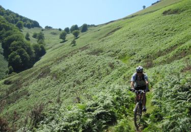
Mountain bike
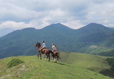
Equestrian