


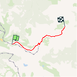

13 km | 20 km-effort

User


FREE GPS app for hiking
 SityTrail
IGN / Geographical institutes
SityTrail World
The world is yours!
Trail Walking of 7 km to be discovered at Occitania, Hautespyrenees, Gazost. This trail is proposed by tracegps.
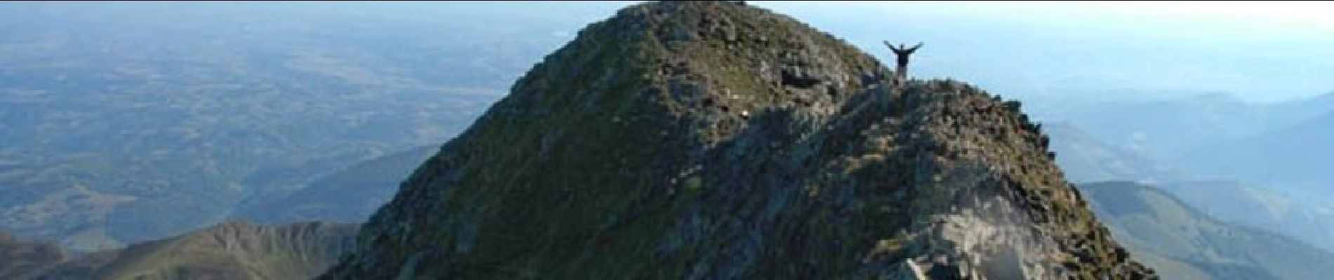
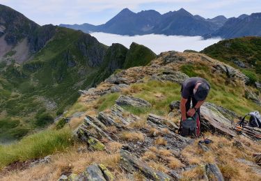
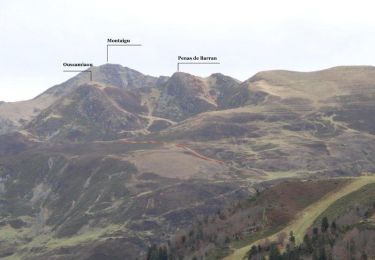
Quelques passages raides et un peu impressionnants entre le PIC DE LHENS (2084m)et le MONTAIGU (utilisation des mains).... Tous les conseils et les descriptions sont sur Montagne Cool Proposé par Imag'In Pyrénées

Walking
Walking
Walking
Walking
Walking
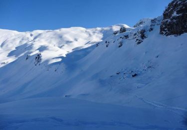
Snowshoes
Walking

Snowshoes
Walking
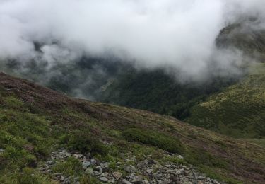
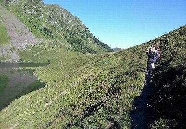
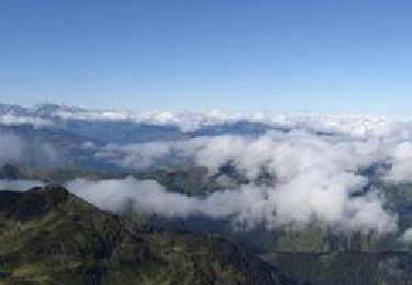
bonne rando faut pas du brouillard