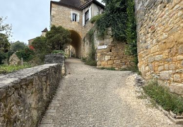

Cénac-et-Saint-Julien

tracegps
User

Length
11.7 km

Max alt
206 m

Uphill gradient
279 m

Km-Effort
15.4 km

Min alt
66 m

Downhill gradient
277 m
Boucle
Yes
Creation date :
2014-12-10 00:00:00.0
Updated on :
2014-12-10 00:00:00.0
2h30
Difficulty : Difficult

FREE GPS app for hiking
About
Trail Walking of 11.7 km to be discovered at New Aquitaine, Dordogne, Cénac-et-Saint-Julien. This trail is proposed by tracegps.
Description
Belle église de Cénac puis ne pas hésiter à faire une petite visite totale de St-Julien pour sa superbe architecture... Tout est expliqué sur le site Rando.eu
Positioning
Country:
France
Region :
New Aquitaine
Department/Province :
Dordogne
Municipality :
Cénac-et-Saint-Julien
Location:
Unknown
Start:(Dec)
Start:(UTM)
357448 ; 4962367 (31T) N.
Comments
Trails nearby

Randonnée du 21/09/2023 à 15:15


Walking
Difficult
(1)
La Roque-Gageac,
New Aquitaine,
Dordogne,
France

12.9 km | 17.3 km-effort
3h 55min
Yes

Randonnée du 18/03/2023 à 18:04


Walking
Very difficult
(2)
Domme,
New Aquitaine,
Dordogne,
France

16.7 km | 22 km-effort
5h 5min
Yes

Castelnaud 14,5km


Walking
Medium
(1)
Castelnaud-la-Chapelle,
New Aquitaine,
Dordogne,
France

14.3 km | 18.3 km-effort
3h 41min
Yes

2022-09-11_00h25m31_SityTrail - 3339419 - vitrac-boucle-de-marobert


sport
Very easy
(1)
Vitrac,
New Aquitaine,
Dordogne,
France

7.2 km | 9.9 km-effort
Unknown
Yes

Vitrac Domme


Walking
Easy
(1)
La Roque-Gageac,
New Aquitaine,
Dordogne,
France

14.6 km | 19.1 km-effort
4h 4min
Yes

Périgord jour 3


Walking
Easy
Vitrac,
New Aquitaine,
Dordogne,
France

11.3 km | 16.3 km-effort
3h 28min
No

Périgord j2 Castelnaud


Walking
Easy
Castelnaud-la-Chapelle,
New Aquitaine,
Dordogne,
France

17.1 km | 24 km-effort
4h 38min
No

Vitrac, Périgord, journée un


Walking
Easy
Vitrac,
New Aquitaine,
Dordogne,
France

8.9 km | 11.6 km-effort
2h 20min
Yes

Boucle Beynac- La Roque Gageac


Walking
Medium
Vézac,
New Aquitaine,
Dordogne,
France

16.3 km | 22 km-effort
4h 20min
Yes


 SityTrail


