


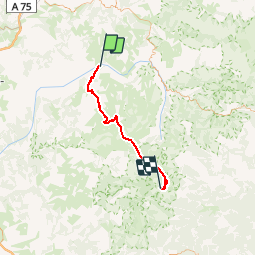

15.8 km | 25 km-effort


User


FREE GPS app for hiking
 SityTrail
IGN / Geographical institutes
SityTrail World
The world is yours!
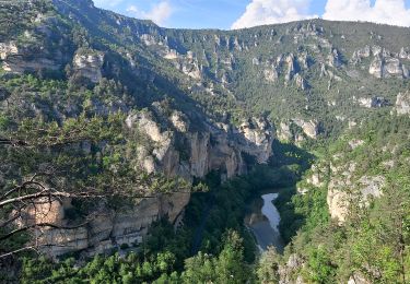
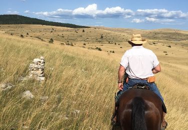
Trail Mountain bike of 49 km to be discovered at Occitania, Lozère, Gorges du Tarn Causses. This trail is proposed by tracegps.
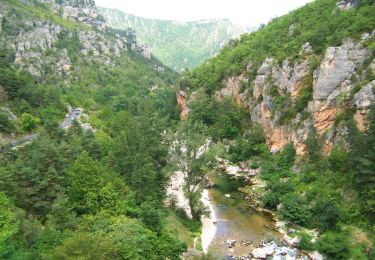
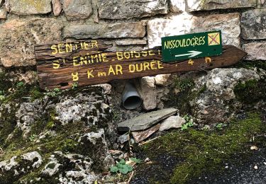
La Grande Traversée du Massif Central par Claire et ses amis. En douze étapes, revivez cette aventure sur son site. Huitième étape: mercredi 09 Août 2006. Retrouvez le résumé de la journée, les conseils et les photos ICI Erreurs de parcours par rapport à la trace GPS sur la GTMC : Montée du Mont Aigoual (bon courage), on a filé tout droit sur la crête au lieu de zigue zaguer dans le bois à flan de montagne sur la gauche.

Walking
Walking
Walking
Walking
Walking
Walking
Walking

Walking
Equestrian