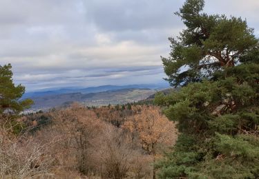
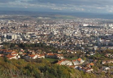
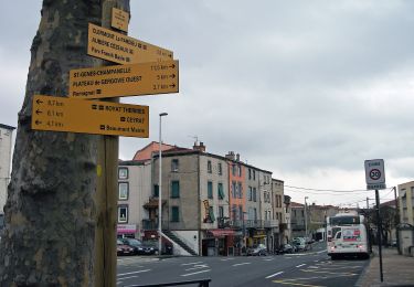
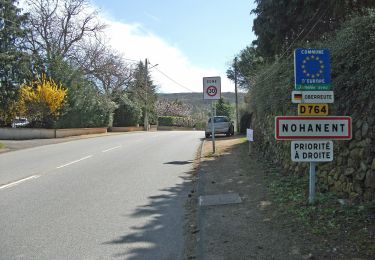
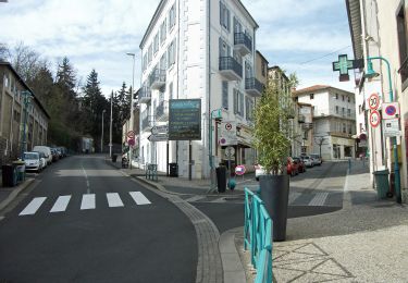
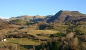
Trail Mountain bike Clermont-Ferrand - GTMC de Claire - 1 - Photo
 tracegps
tracegps

User

© OpenStreetMap contributors
Length
Length
74 km
Max alt
Max alt
1100 m
Uphill gradient
Uphill gradient
1920 m
Km-Effort
Km-Effort  
98 km
Min alt
Min alt
359 m
Downhill gradient
Downhill gradient
1399 m
Boucle
Boucle
No
Creation date :
2014-12-10 00:00:00.0
Updated on :
2014-12-10 00:00:00.0

(1 Reviews)

Mountain bike
Mountain bike
6h00
Difficulty : Very difficult

Scan this QR Code to open this trail in the SityTrail application

FREE GPS app for hiking

Logo SityTrail SityTrail

IGN / Geographical institutes

Download SityTrail from the App Store Download SityTrail from Google Play

Logo SityTrail SityTrail World

The world is yours!

Download SityTrail from the App Store Download SityTrail from Google Play Download SityTrail on Huawei AppGallery

About

Trail Mountain bike of 74 km to be discovered at Auvergne-Rhône-Alpes, Puy-de-Dôme, Clermont-Ferrand. This trail is proposed by tracegps.

Description

La Grande Traversée du Massif Central par Claire et ses amis. En douze étapes, revivez cette aventure sur son site. Avant de partir elle donne de nombreux conseils. Première étape: mercredi 2 Aout 2006. Retrouvez le résumé de la journée, les impressions et les photos ICI

Elevation profile

Photos

Positioning

Country:
France
Region :
Auvergne-Rhône-Alpes
Department/Province :
Puy-de-Dôme
Municipality :
Clermont-Ferrand
Location:
Unknown
Start:(UTM)
507994 ; 5069329 (31T) N.

Comments

Please log in to post a review or rate the element


Trails nearby

Trail Walking Ceyrat - Ceyrat_Tour_Montrognon - Photo
Walking
GUIDE
jagarnier

Walking

Easy
(1)
Ceyrat, Auvergne-Rhône-Alpes, Puy-de-Dôme, France
7.2 km | 9.3 km-effort
2h 15min
Yes
Trail Walking Royat - Royat_Paradis - Photo
Walking
GUIDE
jagarnier

Walking

Easy
(1)
Royat, Auvergne-Rhône-Alpes, Puy-de-Dôme, France
7.1 km | 10 km-effort
2h 15min
Yes
Trail Walking Royat - Royat_Chemin_Ecoliers - Photo
Walking
GUIDE
jagarnier

Walking

Medium
(3)
Royat, Auvergne-Rhône-Alpes, Puy-de-Dôme, France
6.9 km | 11.2 km-effort
2h 0min
Yes
Trail Walking Durtol - Durtol_Cote_Pegnu - Photo
Walking
GUIDE
jagarnier

Walking

Easy
(1)
Durtol, Auvergne-Rhône-Alpes, Puy-de-Dôme, France
6.1 km | 9.1 km-effort
2h 0min
Yes
Trail Walking Royat - Oclede-GraveNoire-Charade_T - Photo
Walking
force

Walking

Medium
(1)
Royat, Auvergne-Rhône-Alpes, Puy-de-Dôme, France
10.3 km | 15.9 km-effort
1h 36min
Yes
Trail Walking Orcines - Montagne Percée - Chamalières - Photo
Walking
tracegps

Walking

Medium
(2)
Orcines, Auvergne-Rhône-Alpes, Puy-de-Dôme, France
5.5 km | 8.3 km-effort
1h 30min
Yes
Trail On foot Aubière - Le chemin des orchys - Photo
On foot
GUIDE+

On foot

Easy
Aubière, Auvergne-Rhône-Alpes, Puy-de-Dôme, France
3.5 km | 4.7 km-effort
1h 4min
Yes
Trail On foot Chanat-la-Mouteyre - Le Repaire des Gaulois - Photo
On foot
GUIDE+

On foot

Easy
Chanat-la-Mouteyre, Auvergne-Rhône-Alpes, Puy-de-Dôme, France
6.5 km | 9.7 km-effort
2h 12min
Yes
Trail On foot Royat - Le Chemin des Ecoliers - Photo
On foot
GUIDE+

On foot

Easy
Royat, Auvergne-Rhône-Alpes, Puy-de-Dôme, France
6.7 km | 11 km-effort
2h 29min
Yes


Close
My subscriptions