

Montgesty

tracegps
User

Length
7.6 km

Max alt
312 m

Uphill gradient
159 m

Km-Effort
9.7 km

Min alt
184 m

Downhill gradient
160 m
Boucle
Yes
Creation date :
2014-12-10 00:00:00.0
Updated on :
2014-12-10 00:00:00.0
2h30
Difficulty : Medium

FREE GPS app for hiking
About
Trail Walking of 7.6 km to be discovered at Occitania, Lot, Montgesty. This trail is proposed by tracegps.
Description
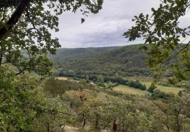
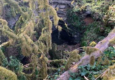
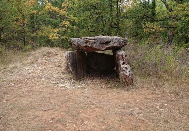
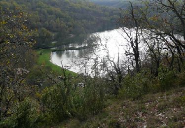
Belle balade pour tous, moulin à vent, menhir, pierres sèches, cabanes...agrémentent cette promenade sans difficultés particulières. D'autres infos pour une belle promenade sur Rando.eu
Positioning
Country:
France
Region :
Occitania
Department/Province :
Lot
Municipality :
Montgesty
Location:
Unknown
Start:(Dec)
Start:(UTM)
364721 ; 4937624 (31T) N.
Comments
Trails nearby

Catus,Rostassac,Catus


Nordic walking
Medium
Catus,
Occitania,
Lot,
France

18.1 km | 24 km-effort
2h 56min
Yes
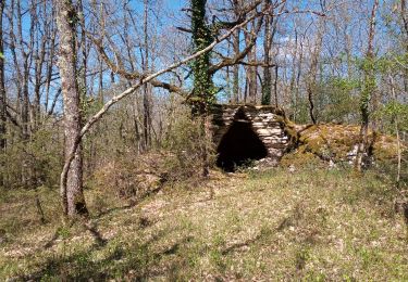
Catus-le Gravenas_Vilary_Combe du Loup 4,6


Walking
Very easy
Catus,
Occitania,
Lot,
France

4.6 km | 6.3 km-effort
2h 33min
Yes
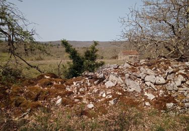
Catus Vilary_Mas de Fraysse 5,3


Walking
Very easy
Catus,
Occitania,
Lot,
France

5.3 km | 7.2 km-effort
1h 26min
Yes



 SityTrail


