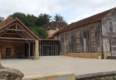

Calviac

tracegps
User

Length
12.4 km

Max alt
162 m

Uphill gradient
255 m

Km-Effort
15.8 km

Min alt
75 m

Downhill gradient
253 m
Boucle
Yes
Creation date :
2014-12-10 00:00:00.0
Updated on :
2014-12-10 00:00:00.0
3h30
Difficulty : Difficult

FREE GPS app for hiking
About
Trail Walking of 12.4 km to be discovered at New Aquitaine, Dordogne, Calviac-en-Périgord. This trail is proposed by tracegps.
Description
Aucune difficulté particulière, rando facile avec une première partie en vallée le long de la Dordogne. Tout est dit sur le site Rando.eu
Positioning
Country:
France
Region :
New Aquitaine
Department/Province :
Dordogne
Municipality :
Calviac-en-Périgord
Location:
Unknown
Start:(Dec)
Start:(UTM)
368324 ; 4968135 (31T) N.
Comments
Trails nearby

Groléjac Boucle de la Germaine-13374133


Walking
Difficult
(1)
Groléjac,
New Aquitaine,
Dordogne,
France

11.3 km | 15 km-effort
3h 24min
Yes

Boucle du Paluel


Walking
Difficult
(1)
Saint-Vincent-le-Paluel,
New Aquitaine,
Dordogne,
France

10.7 km | 13.6 km-effort
3h 5min
Yes

Rando Dordogne jour 1


Walking
Medium
Saint-Vincent-le-Paluel,
New Aquitaine,
Dordogne,
France

17.2 km | 22 km-effort
5h 17min
No

MARTEL - DE CALVIAC EN PASSANT PAR SOUILLAC


Road bike
Medium
Calviac-en-Périgord,
New Aquitaine,
Dordogne,
France

74 km | 89 km-effort
7h 4min
Yes

VALLÉE DE LA DORDOGNE- PARCOURS OUEST DEPUIS CALVIAC EN PÉRIGORD


Road bike
Difficult
Calviac-en-Périgord,
New Aquitaine,
Dordogne,
France

69 km | 85 km-effort
8h 24min
Yes

Carsac-Aillac


Walking
Easy
(1)
Carsac-Aillac,
New Aquitaine,
Dordogne,
France

13.3 km | 16.5 km-effort
3h 18min
Yes

sarlat_28a


Walking
Easy
(1)
Sainte-Mondane,
New Aquitaine,
Dordogne,
France

6.4 km | 9.3 km-effort
1h 57min
Yes

Voie Verte Périgord Quercy - De Aillac à Sarlat la Canéda


Walking
Medium
Carsac-Aillac,
New Aquitaine,
Dordogne,
France

12.3 km | 14.8 km-effort
3h 30min
No

SAINT VINCENT LE PALUEL


Walking
Easy
Saint-Vincent-le-Paluel,
New Aquitaine,
Dordogne,
France

11 km | 13.9 km-effort
2h 37min
Yes


 SityTrail


A éviter pendant la saison des moustiques.