![](/images/other/stat-length.png)
![Trail Walking Zwalm - langs de Zwalmmolen - Photo](https://media.geolcdn.com/t/1900/400/ext.pjpeg?maxdim=2&url=https%3A%2F%2Fservices.sitytrail.com%2FGeolivesWS%2FDownloadMedia.ashx%3FTrailID%3D1012110%26Media%3D20180728173545.jpg)
langs de Zwalmmolen
maarten.avet
User
![Length](/images/other/stat-length.png)
Length
6 km
![Max alt](https://static1.geolcdn.com/siteimages/upload/files/1508320355ic_sort_altitude_max_24dp.png)
Max alt
43 m
![Uphill gradient](https://static1.geolcdn.com/siteimages/upload/files/1508320355ic_sort_den_pos_24dp.png)
Uphill gradient
51 m
![Km-Effort](/images/other/stat-length.png)
Km-Effort
6.7 km
![Min alt](https://static1.geolcdn.com/siteimages/upload/files/1508320355ic_sort_altitude_min_24dp.png)
Min alt
15 m
![Downhill gradient](https://static1.geolcdn.com/siteimages/upload/files/1508320355ic_sort_den_neg_24dp.png)
Downhill gradient
50 m
![Boucle](https://static1.geolcdn.com/siteimages/upload/files/16400158638029165_repeat_loop_refresh_sync_direction_icon.png)
Boucle
Yes
Creation date :
2019-01-15 13:44:51.456
Updated on :
2019-01-15 13:44:51.456
![Walking](https://static1.geolcdn.com/sitytour/trail-icons/101.png)
2h16
Difficulty : Very easy
![Scan this QR Code to open this trail in the SityTrail application](https://capi.geolives.com/qq0zvz2zws4bq2lad0pu/sitytour/trails/1012110/qr.png?size=200)
FREE GPS app for hiking
About
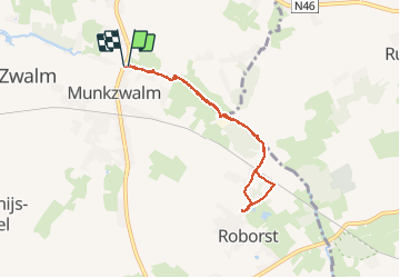
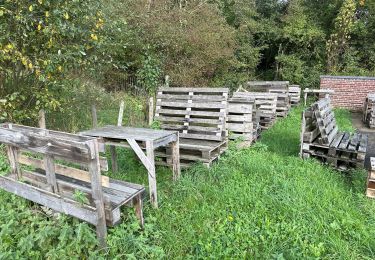
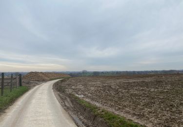
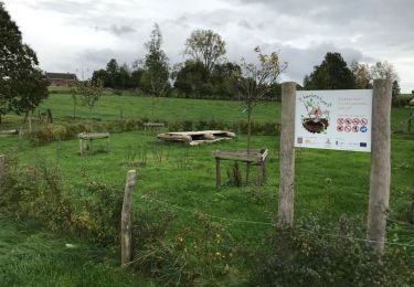
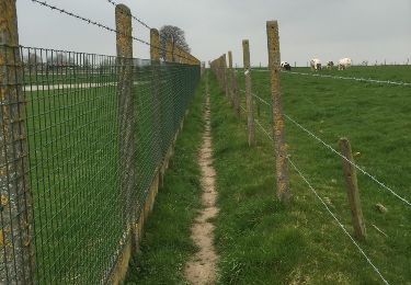
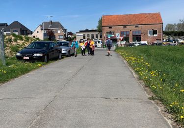
Trail Walking of 6 km to be discovered at Flanders, East Flanders, Zwalm. This trail is proposed by maarten.avet.
Description
Van Muinkzwalm naar Roborst en terug langs de idyllische oevers van de Zwalmbeek. Deze wandeling gedaan in de zomer in alle rust! Geen buggy's mogelijk
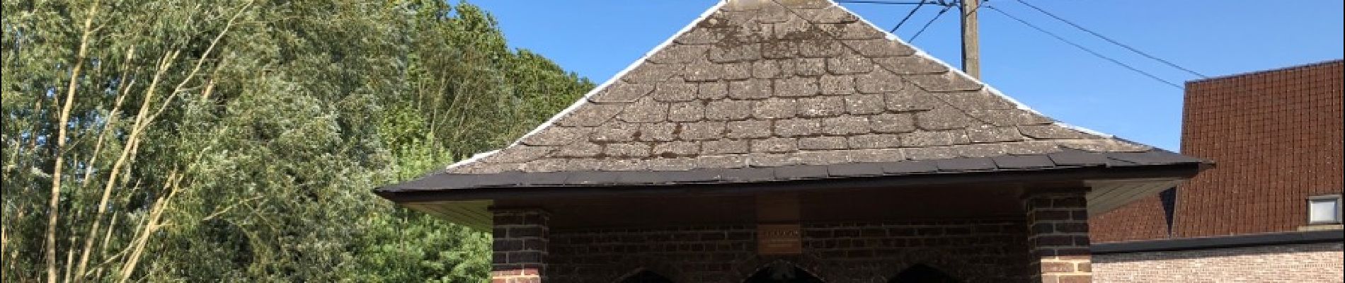
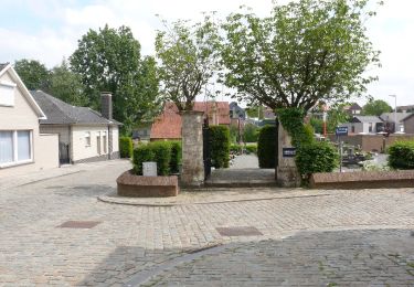
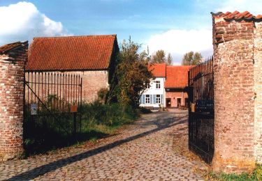
Positioning
Country:
Belgium
Region :
Flanders
Department/Province :
East Flanders
Municipality :
Zwalm
Location:
Munkzwalm
Start:(Dec)
Start:(UTM)
551705 ; 5636753 (31U) N.
Comments
Trails nearby
![Trail On foot Zottegem - Jan De Lichte Pad - Photo](https://media.geolcdn.com/t/375/260/57114f43-988a-465b-958c-d6b1cb93c8a2.jpeg&format=jpg&maxdim=2)
![On foot On foot](https://static1.geolcdn.com/sitytour/trail-icons/100.png)
Jan De Lichte Pad
On foot
Easy
Zottegem,
Flanders,
East Flanders,
Belgium
![](/images/other/stat-length.png)
9 km | 10.2 km-effort
2h 19min
![](https://static1.geolcdn.com/siteimages/upload/files/16400158638029165_repeat_loop_refresh_sync_direction_icon.png)
Yes
![Trail On foot Kruisem - Wannenlappersroute - Photo](https://media.geolcdn.com/t/375/260/9cc6bd5f-c4ad-444a-810b-8d9582f61d50.jpeg&format=jpg&maxdim=2)
![On foot On foot](https://static1.geolcdn.com/sitytour/trail-icons/100.png)
Wannenlappersroute
On foot
Easy
Kruisem,
Flanders,
East Flanders,
Belgium
![](/images/other/stat-length.png)
9.6 km | 10.3 km-effort
2h 20min
![](https://static1.geolcdn.com/siteimages/upload/files/16400158638029165_repeat_loop_refresh_sync_direction_icon.png)
Yes
![Trail Walking Zwalm - Sint-Blasius Boeckel 16,2 km - Photo](https://media.geolcdn.com/t/375/260/a23d2ae7-4c1c-4f06-8319-0207cd98ef62.jpg&format=jpg&maxdim=2)
![Walking Walking](https://static1.geolcdn.com/sitytour/trail-icons/101.png)
Sint-Blasius Boeckel 16,2 km
Walking
Medium
Zwalm,
Flanders,
East Flanders,
Belgium
![](/images/other/stat-length.png)
16.2 km | 19.5 km-effort
4h 40min
![](https://static1.geolcdn.com/siteimages/upload/files/16400158638029165_repeat_loop_refresh_sync_direction_icon.png)
Yes
![Trail Walking Zwalm - Sint-blasius Boeckel 18,6 km - Photo](https://media.geolcdn.com/t/375/260/7ed549ef-1597-4734-8445-4049ae1d40cb.jpg&format=jpg&maxdim=2)
![Walking Walking](https://static1.geolcdn.com/sitytour/trail-icons/101.png)
Sint-blasius Boeckel 18,6 km
Walking
Easy
Zwalm,
Flanders,
East Flanders,
Belgium
![](/images/other/stat-length.png)
18.6 km | 22 km-effort
4h 26min
![](https://static1.geolcdn.com/siteimages/upload/files/16400158638029165_repeat_loop_refresh_sync_direction_icon.png)
Yes
![Trail Walking Horebeke - Geuzenhoekroute 14km - Photo](https://media.geolcdn.com/t/375/260/ext.jpg?maxdim=2&url=https%3A%2F%2Fservices.sitytrail.com%2FGeolivesWS%2FDownloadMedia.ashx%3FTrailID%3D850357%26Media%3D20171022142952.jpg)
![Walking Walking](https://static1.geolcdn.com/sitytour/trail-icons/101.png)
Geuzenhoekroute 14km
Walking
Medium
Horebeke,
Flanders,
East Flanders,
Belgium
![](/images/other/stat-length.png)
13.9 km | 16.5 km-effort
3h 16min
![](https://static1.geolcdn.com/siteimages/upload/files/16400158638029165_repeat_loop_refresh_sync_direction_icon.png)
Yes
![Trail Walking Brakel - Michelbeke en omgeving - Photo](https://media.geolcdn.com/t/375/260/ext.jpg?maxdim=2&url=https%3A%2F%2Fservices.sitytrail.com%2FGeolivesWS%2FDownloadMedia.ashx%3FTrailID%3D406584%26Media%3D20150411153322.jpg)
![Walking Walking](https://static1.geolcdn.com/sitytour/trail-icons/101.png)
Michelbeke en omgeving
Walking
Easy
Brakel,
Flanders,
East Flanders,
Belgium
![](/images/other/stat-length.png)
13 km | 15.3 km-effort
3h 20min
![](https://static1.geolcdn.com/siteimages/upload/files/16400158638029165_repeat_loop_refresh_sync_direction_icon.png)
Yes
![Trail Walking Zottegem - 20220420 WSV Egmont Midweek - Photo](https://media.geolcdn.com/t/375/260/25d98a33-be30-4c32-97af-47bd1b225063.jpg&format=jpg&maxdim=2)
![Walking Walking](https://static1.geolcdn.com/sitytour/trail-icons/101.png)
20220420 WSV Egmont Midweek
Walking
Easy
Zottegem,
Flanders,
East Flanders,
Belgium
![](/images/other/stat-length.png)
3 km | 3.5 km-effort
2h 22min
![](https://static1.geolcdn.com/siteimages/upload/files/16400158638029165_repeat_loop_refresh_sync_direction_icon.png)
Yes
![Trail sport Brakel - Vallée de la ZWALM - Photo](https://media.geolcdn.com/t/375/260/ext.jpg?maxdim=2&url=https%3A%2F%2Fsecurestorage.geolives.com%2Fsitytour%2Ftrail-bg%2Fdefault.jpg)
Vallée de la ZWALM
sport
Very easy
Brakel,
Flanders,
East Flanders,
Belgium
![](/images/other/stat-length.png)
10.3 km | 12.2 km-effort
Unknown
![](https://static1.geolcdn.com/siteimages/upload/files/16400158638029165_repeat_loop_refresh_sync_direction_icon.png)
Yes
![Trail Walking Horebeke - horebeke randonnée des gueux 16 km - Photo](https://media.geolcdn.com/t/375/260/ext.jpg?maxdim=2&url=https%3A%2F%2Fstatic1.geolcdn.com%2Fsiteimages%2Fupload%2Ffiles%2F1553511878bg_sport_marche.png)
![Walking Walking](https://static1.geolcdn.com/sitytour/trail-icons/101.png)
horebeke randonnée des gueux 16 km
Walking
Easy
Horebeke,
Flanders,
East Flanders,
Belgium
![](/images/other/stat-length.png)
16.1 km | 19 km-effort
4h 6min
![](https://static1.geolcdn.com/siteimages/upload/files/16400158638029165_repeat_loop_refresh_sync_direction_icon.png)
Yes