Trail Mountain bike Ammerschwihr - Les Hauteurs d'Ammerschwihr - Photo

Les Hauteurs d'Ammerschwihr

 tracegps
tracegps

User

© OpenStreetMap contributors
Length
Length
16.9 km
Max alt
Max alt
704 m
Uphill gradient
Uphill gradient
623 m
Km-Effort
Km-Effort  
25 km
Min alt
Min alt
236 m
Downhill gradient
Downhill gradient
621 m
Boucle
Boucle
Yes
Creation date :
2014-12-10 00:00:00.0
Updated on :
2014-12-10 00:00:00.0

(0 Reviews)

Mountain bike
Mountain bike
1h45
Difficulty : Very difficult

Scan this QR Code to open this trail in the SityTrail application

FREE GPS app for hiking

Logo SityTrail SityTrail

IGN / Geographical institutes

Download SityTrail from the App Store Download SityTrail from Google Play

Logo SityTrail SityTrail World

The world is yours!

Download SityTrail from the App Store Download SityTrail from Google Play Download SityTrail on Huawei AppGallery

About

Trail Mountain bike of 16.9 km to be discovered at Grand Est, Haut-Rhin, Ammerschwihr. This trail is proposed by tracegps.

Description

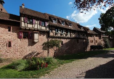
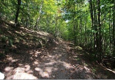
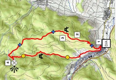
Si vous partez d'Ammerschwihr ( autre possibilités à Trois Epis ou Katzenthal ), garez-vous sur le parking à la sortie. Profitez bien des quelques mètres de béton pour vous échauffer. Si vous levez la tête, vous verrez sur la droite le sentier qui grimpe à flanc de vignoble : c'est la première grosse difficulté du circuit. Il est instable, empierré et pas trop large dans sa première partie. Il devient plus praticable après. Après un petit intermède sur bitume, vous reprendrez la montée direction Trois Epis. Cette fois, le sentier est plus roulant, maisplus long. La descente sur Katzenthal ne présente pas de difficultés. Elle est d'abord roulante, puis plus empierrée avant de déboucher de la forêt. Vous retrouverez tranquillement votre point de départ par la piste cyclable en passanr par le domaine du Kaefferkopf. Le balisage est en bon état. D'autres informations et une carte détaillée sont disponibles ICI

Elevation profile

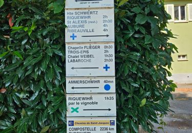
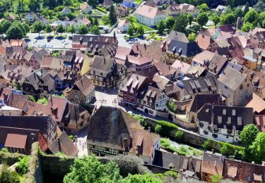
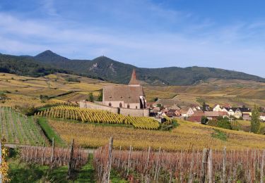
Photos

Positioning

Country:
France
Region :
Grand Est
Department/Province :
Haut-Rhin
Municipality :
Ammerschwihr
Location:
Unknown
Start:(UTM)
371820 ; 5331575 (32U) N.

Trails nearby

Trail Walking Ammerschwihr - D'Ammerschwihr aux Trois Epis - Photo
Walking
VacheKiri67

Walking

Difficult
(1)
Ammerschwihr, Grand Est, Haut-Rhin, France
17.1 km | 25 km-effort
5h 35min
Yes
Trail Walking Ammerschwihr - Trois Épis le rocher du corbeau  - Photo
Walking
zazie

Walking

Easy
(2)
Ammerschwihr, Grand Est, Haut-Rhin, France
4.4 km | 5.7 km-effort
59min
Yes
Trail Walking Kaysersberg-Vignoble - Du ⛺️ aux 4 villages - Photo
Walking
GUIDE
mumu.larandonneuse

Walking

Medium
Kaysersberg-Vignoble, Grand Est, Haut-Rhin, France
12.9 km | 15.1 km-effort
3h 30min
Yes
Trail Walking Kaysersberg-Vignoble - 2021-05-30 Marche Kaysersberg Ursprung St Alexis - Photo
Walking
GUIDE
holtzv

Walking

Very difficult
Kaysersberg-Vignoble, Grand Est, Haut-Rhin, France
17.1 km | 26 km-effort
4h 46min
Yes
Trail Horseback riding Kaysersberg-Vignoble - 2019-10-26 CDTE67 Tournage Video Promotion TE - Photo
Horseback riding
GUIDE
holtzv

Horseback riding

Easy
Kaysersberg-Vignoble, Grand Est, Haut-Rhin, France
24 km | 29 km-effort
24min
No
Trail Horseback riding Kaysersberg-Vignoble - 000004 - Photo
Horseback riding
GUIDE
holtzv

Horseback riding

Very difficult
Kaysersberg-Vignoble, Grand Est, Haut-Rhin, France
32 km | 45 km-effort
5h 55min
Yes
Trail Walking Riquewihr - Sentier des grands crus - Photo
Walking
GUIDE
pascalou73

Walking

Medium
(2)
Riquewihr, Grand Est, Haut-Rhin, France
11.5 km | 14.4 km-effort
3h 7min
Yes
Trail Walking Kaysersberg-Vignoble - Le tour de Kysersberg - Photo
Walking
GUIDE
pascalou73

Walking

Medium
(1)
Kaysersberg-Vignoble, Grand Est, Haut-Rhin, France
7.9 km | 11.7 km-effort
2h 34min
Yes
Trail Walking Kaysersberg-Vignoble - De Kaysersberg à l'auberge St Alexis - Photo
Walking
GUIDE
mumu.larandonneuse

Walking

Difficult
Kaysersberg-Vignoble, Grand Est, Haut-Rhin, France
11.9 km | 18.8 km-effort
4h 15min
Yes


Close
My subscriptions