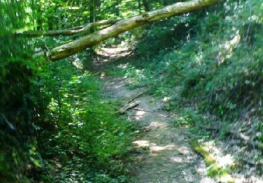
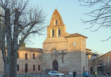
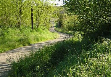
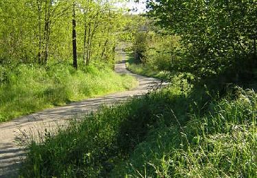
Trail Running Lapeyrouse-Fossat - Lapeyrouse Garidech - Photo
 tracegps
tracegps

User

© OpenStreetMap contributors
Length
Length
14.7 km
Max alt
Max alt
202 m
Uphill gradient
Uphill gradient
160 m
Km-Effort
Km-Effort  
16.9 km
Min alt
Min alt
132 m
Downhill gradient
Downhill gradient
163 m
Boucle
Boucle
Yes
Creation date :
2014-12-10 00:00:00.0
Updated on :
2014-12-10 00:00:00.0

(0 Reviews)

Running
Running
1h30
Difficulty : Difficult

Scan this QR Code to open this trail in the SityTrail application

FREE GPS app for hiking

Logo SityTrail SityTrail

IGN / Geographical institutes

Download SityTrail from the App Store Download SityTrail from Google Play

Logo SityTrail SityTrail World

The world is yours!

Download SityTrail from the App Store Download SityTrail from Google Play Download SityTrail on Huawei AppGallery

About

Trail Running of 14.7 km to be discovered at Occitania, Haute-Garonne, Lapeyrouse-Fossat. This trail is proposed by tracegps.

Description

Un parcours, sympa bordé de belles bâtisses. Départ, place du village de LAPEYROUSE descendre jusqu’au bout de l’impasse et prendre le chemin de terre en face. En haut de la cote, on retrouve un chemin goudronné, on prend à droite pour longer une allée de platanes. Au premier carrefour, on prend à gauche pour descendre jusqu’à la D40 que l’on traverse (avec prudence) pour prendre le chemin herbeux juste en face. Juste après le petit pont, il faut tourner à droite pour longer le GIROU jusqu’à la route d’Albi. Seul passage un peu délicat. Il faut traverser, prendre à gauche pour la longer sur le bas coté sur une vingtaine de mètres. On prend ensuite une courbe de l’ancienne route pour arriver au rond-point et on prend la direction de St jean de L’Herm, jusqu’au prochain rond-point où il faut prendre à droite vers GARIDECH. On monte dans le village jusqu’au stop où l’on prend à gauche. Après c’est tout droit sans oublier la traversée (avec prudence de la N88). On peu admirer le paysage sur la gauche. 4 3 kms plus loin après le moulin sur le GIROU, on arrive au croisement avec la route de BAZUS. On tourne à gauche, puis encore à gauche, après le pont et 600m plus loin on suit le petit chemin vers la droite. Il faut traverser la D20 (avec prudence) et continuer en face. Il suffit de suivre la route qui nous ramène à LAPEYROUSE.

Elevation profile

Photos

Positioning

Country:
France
Region :
Occitania
Department/Province :
Haute-Garonne
Municipality :
Lapeyrouse-Fossat
Location:
Unknown
Start:(UTM)
380558 ; 4838826 (31T) N.

Trails nearby

Trail Walking Saint-Jean - Du Lac de St Jean de L'Union à Saint Geniès Bellevue par le ruisseau de Pichounelle - Photo
Walking
tracegps

Walking

Medium
(1)
Saint-Jean, Occitania, Haute-Garonne, France
7 km | 8.2 km-effort
1h 40min
Yes
Trail Mountain bike Saint-Jean - st jean pechbonnieu 1ère fois - Photo
Mountain bike
Elegoet

Mountain bike

Easy
(1)
Saint-Jean, Occitania, Haute-Garonne, France
26 km | 30 km-effort
2h 28min
No
Trail Cycle Garidech - Vélo route Garidech 46km - Photo
Cycle
tracegps

Cycle

Medium
(1)
Garidech, Occitania, Haute-Garonne, France
46 km | 51 km-effort
2h 0min
Yes
Trail On foot Gragnague - La rondes des berges - Photo
On foot
GUIDE+

On foot

Easy
Gragnague, Occitania, Haute-Garonne, France
7.9 km | 8.5 km-effort
1h 55min
Yes
Trail Walking Pechbonnieu - 7 km dans 1 km - Photo
Walking
zazibelle

Walking

Medium
Pechbonnieu, Occitania, Haute-Garonne, France
7.1 km | 8.7 km-effort
1h 34min
Yes
Trail Mountain bike L'Union - Fil Vert VTT du Grand Toulouse - Edition 2008 - 37km - Photo
Mountain bike
tracegps

Mountain bike

Medium
L'Union, Occitania, Haute-Garonne, France
37 km | 40 km-effort
3h 0min
Yes
Trail Running Saint-Jean - Du Lac de St Jean de L'Union à Saint Geniès Bellevue par le ruisseau de Pichounelle - Photo
Running
tracegps

Running

Medium
Saint-Jean, Occitania, Haute-Garonne, France
7 km | 8.2 km-effort
45min
Yes
Trail Running Launaguet - Course à pied gps à Launaguet - Chemin du Poutou - Photo
Running
tracegps

Running

Difficult
Launaguet, Occitania, Haute-Garonne, France
18.7 km | 22 km-effort
1h 30min
Yes
Trail Mountain bike Launaguet - Course à pied gps à Launaguet - Chemin du Poutou - Photo
Mountain bike
tracegps

Mountain bike

Difficult
(1)
Launaguet, Occitania, Haute-Garonne, France
18.7 km | 22 km-effort
1h 15min
Yes


Close
My subscriptions