7.6 km | 12.1 km-effort
Les Miquelets
tracegps
User
Length
35 km
Max alt
806 m
Uphill gradient
1158 m
Km-Effort
50 km
Min alt
216 m
Downhill gradient
1158 m
Boucle
Yes
Creation date :
2014-12-10 00:00:00.0
Updated on :
2014-12-10 00:00:00.0
2h10
Difficulty : Difficult
FREE GPS app for hiking
About
Trail Mountain bike of 35 km to be discovered at Occitania, Tarn, Verdalle. This trail is proposed by tracegps.
Description
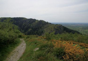
Au départ de Verdalle, dans le Tarn, une balade dans les Montagns Noires.
Positioning
Country:
France
Region :
Occitania
Department/Province :
Tarn
Municipality :
Verdalle
Location:
Unknown
Start:(Dec)
Start:(UTM)
431784 ; 4819350 (31T) N.
Comments
Trails nearby
Capelette table orientation
Electric bike
(1)
Dourgne,
Occitania,
Tarn,
France
21 km | 30 km-effort
1h 59min
No
Le désert de St Férréol
Walking
Medium
Dourgne,
Occitania,
Tarn,
France
7.6 km | 12.1 km-effort
3h 45min
Yes
Taurou-Sant
Mountain bike
Difficult
Verdalle,
Occitania,
Tarn,
France
38 km | 50 km-effort
3h 30min
Yes
Dourgne, Montagne noire
Mountain bike
Very difficult
Dourgne,
Occitania,
Tarn,
France
34 km | 49 km-effort
4h 30min
No
De Ste Scholastique à chapelle St Ferréol la Capelette
Walking
Easy
Dourgne,
Occitania,
Tarn,
France
6.5 km | 10.4 km-effort
2h 13min
Yes
De Sainte Scholastique vers les 4 sainte - Dourgne
Walking
Difficult
Dourgne,
Occitania,
Tarn,
France
17.3 km | 25 km-effort
6h 27min
Yes