


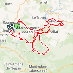

18.1 km | 23 km-effort


User


FREE GPS app for hiking
 SityTrail
IGN / Geographical institutes
SityTrail World
The world is yours!
Trail Mountain bike of 58 km to be discovered at Occitania, Tarn, Terre-de-Bancalié. This trail is proposed by tracegps.
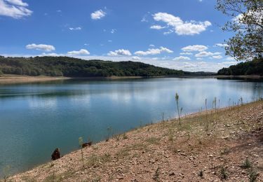
3 Sept 2006 Une rando méconnue mais bien organisée. Une succession de montées descentes qui usent, surtout avec la chaleur en fin de parcours. 60kms pour 1750m D quand même ! La suite est ICI Source Rowel

Walking
Walking
Walking

Electric bike
Walking

Walking


sport
Walking